
Arlesey Old Moat and Glebe Meadows is a 4.3 hectare nature reserve west of Arlesey in Bedfordshire. It is managed by the Wildlife Trust for Bedfordshire, Cambridgeshire and Northamptonshire. The site is a long narrow strip between the River Hiz and the East Coast Main Line, with the entrance to Glebe Meadows immediately west of Arlesey railway station, and Arlesey Old Moat south of the Meadows. The Hicca Way footpath goes through the site.
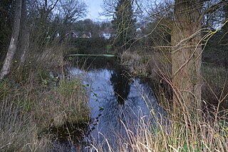
Cople Pits is a two hectare nature reserve in Cople in Bedfordshire. It is managed by the Wildlife Trust for Bedfordshire, Cambridgeshire and Northamptonshire.

Felmersham Gravel Pits is a 21.6 hectare Site of Special Scientific Interest between the villages of Felmersham and Sharnbrook in Bedfordshire. It was notified under Section 28 of the Wildlife and Countryside Act 1981 in 1986 and the local planning authority is Bedford Borough Council. The site is managed by the Wildlife Trust for Bedfordshire, Cambridgeshire and Northamptonshire.

The Riddy is an 8.4 hectare flood meadow and Local Nature Reserve located in Sandy, Bedfordshire, United Kingdom, bordering the River Ivel. Owned by Sandy Town Council but managed by both the Wildlife Trust for Bedfordshire, Cambridgeshire and Northamptonshire and Bedfordshire Rural Communities Charity, the 7.7 hectares site gains its name from a small stream which flows through the eastern end of the reserve. The different habitats in the Riddy support a diverse range of species, including a multiplicity of grasses and flowering plants in the meadows, aquatic plants and water voles which inhabit the ditches, ponds and stream, and birds which feed and hunt across the reserve.
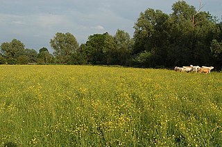
Houghton Meadows is a 4.7 hectare biological Site of Special Scientific Interest (SSSI) between Houghton and St Ives in Cambridgeshire. The SSSI covers three meadows south of Thicket Road; they are part of the 8 hectare Houghton Meadows nature reserve, which is owned and managed by the Wildlife Trust for Bedfordshire, Cambridgeshire and Northamptonshire, and which also includes Browns Meadow to the south.

Stanground Newt Ponds is a 0.8 hectare nature reserve in Peterborough in Cambridgeshire. It is managed by the Wildlife Trust for Bedfordshire, Cambridgeshire and Northamptonshire.

Wymington Meadow is a nature reserve south of Wymington in Bedfordshire. It is approximately one hectare, and is managed by the Wildlife Trust for Bedfordshire, Cambridgeshire and Northamptonshire.
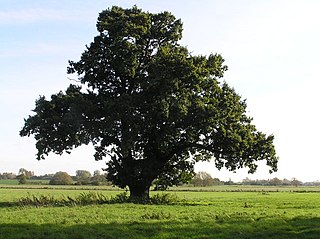
Mill Crook is a 5.9 hectare biological Site of Special Scientific Interest east of Towcester in Northamptonshire. Mill Crook and Grafton Regis Meadow are a 7.9 hectare nature reserve managed by the Wildlife Trust for Bedfordshire, Cambridgeshire and Northamptonshire.

Kingsthorpe Meadow is a 14.4 hectare Local Nature Reserve in Northampton. It is owned by Northampton Borough Council and managed by the Wildlife Trust for Bedfordshire, Cambridgeshire and Northamptonshire.
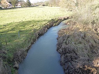
River Ise and Meadows is a 13.5 hectare biological Site of Special Scientific Interest along the River Ise in Northamptonshire between Geddington and the Kettering to Corby railway line east of Rushton.

Great Oakley Meadow is a 1.9 hectare Local Nature Reserve in Great Oakley, on the southern outskirts of Corby in Northamptonshire. It is managed by the Wildlife Trust for Bedfordshire, Cambridgeshire and Northamptonshire.

Tailby Meadow is a 4.9 hectare Local Nature Reserve in Desborough in Northamptonshire. It is owned by Kettering Borough Council and managed by the Wildlife Trust for Bedfordshire, Cambridgeshire and Northamptonshire.

Barford Wood and Meadows or Barford Meadow Nature Reserve is a 36 hectare nature reserve east of Rushton in Northamptonshire. It is managed by the Wildlife Trust for Bedfordshire, Cambridgeshire and Northamptonshire. The north-eastern end is part of the River Ise and Meadows Site of Special Scientific Interest.

Storton's Pits is a 21.9 hectare Local Nature Reserve in Northampton. It is managed by the Wildlife Trust for Bedfordshire, Cambridgeshire and Northamptonshire.

Grafton Regis Meadow is a 2 hectare nature reserve east of Grafton Regis in Northamptonshire. It is managed by the Wildlife Trust for Bedfordshire, Cambridgeshire and Northamptonshire.

Finedon Cally Banks is a 2.5 hectare nature reserve north-east of Wellingborough in Northamptonshire. It is managed by the Wildlife Trust for Bedfordshire, Cambridgeshire and Northamptonshire.
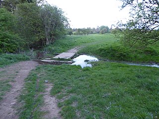
Wicksteed Park is a 14.2 hectare nature reserve in Barton Seagrave, on the eastern outskirts of Kettering in Northamptonshire. It is managed by the Wildlife Trust for Bedfordshire, Cambridgeshire and Northamptonshire.

Barnes Meadow is a 29.4 hectare Local Nature Reserve in Northampton. An area of 20 hectares is managed by the Wildlife Trust for Bedfordshire, Cambridgeshire and Northamptonshire.
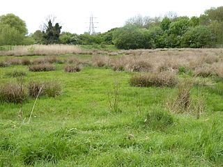
Abington Meadows is a 9.6 hectare nature reserve in Northampton. It is owned by Northamptonshire County Council and managed by the Wildlife Trust for Bedfordshire, Cambridgeshire and Northamptonshire.


