South Windham, Maine | |
|---|---|
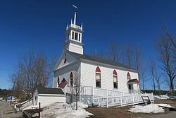 South Windham Community Church and Center | |
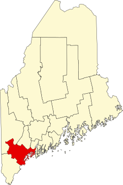
 Location in Cumberland County and the state of Maine. | |
| Coordinates: 43°44′10″N70°25′19″W / 43.73611°N 70.42194°W | |
| Country | United States |
| State | Maine |
| County | Cumberland |
| Town | Windham |
| Area | |
• Total | 1.26 sq mi (3.27 km2) |
| • Land | 1.19 sq mi (3.09 km2) |
| • Water | 0.066 sq mi (0.17 km2) |
| Elevation | 154 ft (47 m) |
| Population (2020) | |
• Total | 1,215 |
| • Density | 1,017.5/sq mi (392.87/km2) |
| Time zone | UTC-5 (Eastern (EST)) |
| • Summer (DST) | UTC-4 (EDT) |
| ZIP Code | 04062 (Windham) |
| Area code | 207 |
| FIPS code | 23-72900 |
South Windham is a census-designated place (CDP) in the town of Windham in Cumberland County, Maine, United States. The population of the CDP was 1,374 at the 2010 census. [2] Prior to 2010, South Windham was part of the Little Falls-South Windham census-designated place.
Contents
It is part of the Portland – South Portland – Biddeford, Maine Metropolitan Statistical Area.