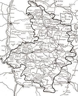
Eichsfeld is a district in Thuringia, Germany, and part of the historical region of Eichsfeld. It is bounded by the districts of Nordhausen, Kyffhäuserkreis and Unstrut-Hainich-Kreis, and by the states of Hesse and Lower Saxony.
Greiz is a Kreis (district) in the east of Thuringia, Germany. Neighboring districts are Saale-Holzland, Saale-Orla, district-free city Gera, the Burgenlandkreis in Saxony-Anhalt, Altenburger Land, and the two Saxon districts Zwickauer Land and Vogtlandkreis.

Leinefelde-Worbis is a town in the district of Eichsfeld, in northwestern Thuringia, Germany. The town was formed on March 16, 2004, from the former independent towns Leinefelde and Worbis along with the municipalities of Breitenbach and Wintzingerode. In July 2018 the former municipality of Hundeshagen, and in January 2019 Kallmerode was merged into Leinefelde-Worbis. The population before the amalgamation was 14,387 for Leinefelde, 5,541 for Worbis, 1,021 for Breitenbach and 614 for Wintzingerode. The 10 parts of Leinefelde-Worbis are Leinefelde, Worbis, Breitenbach, Kirchohmfeld, Birkungen, Beuren, Hundeshagen, Kaltohmfeld, Wintzingrode, Kallmerode and Breitenholz.

Dingelstädt is a town in the district of Eichsfeld in Thuringia, Germany. It is situated on the upper course of the river Unstrut, 8 km (5 mi) south of Leinefelde-Worbis and 15 km (9 mi) northwest of Mühlhausen. The former municipalities Helmsdorf, Kefferhausen, Kreuzebra and Silberhausen were merged into Dingelstädt in January 2019.

Kirchworbis is a municipality in the district of Eichsfeld in Thuringia, Germany. Kirchworbis lies to the south of the Langenberg, a summit in the Ohm Hills.
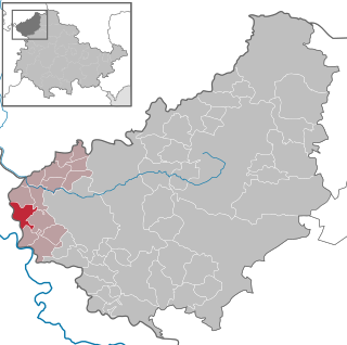
Bornhagen is a municipality in the district of Eichsfeld in Thuringia, Germany, located at the foot of the ruins of Hanstein Castle. The town district Rimbach is positioned directly south of the castle citadel at an elevation of 370 m. Bornhagen is located 22 km south of Göttingen, 85 km northwest of the state capital Erfurt and 270 km southwest of Berlin. It is the westernmost settlement in Thuringia but does not contain the westernmost point which is 75 km south near Geisa.

Burgwalde is a municipality in the district of Eichsfeld in Thuringia, Germany, part of the Verwaltungsgemeinschaft Hanstein-Rusteberg.
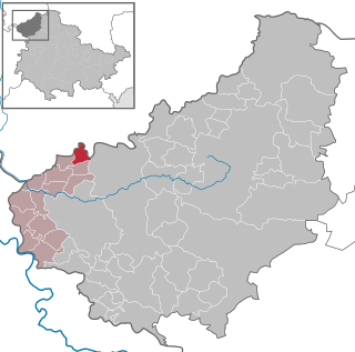
Freienhagen is a municipality in the district of Eichsfeld in Thuringia, Germany. It is part of the Verwaltungsgemeinschaft Hanstein-Rusteberg.

Fretterode is a municipality in the district of Eichsfeld in Thuringia, Germany. It is part of the Verwaltungsgemeinschaft Hanstein-Rusteberg.

Gerbershausen is a municipality in the district of Eichsfeld in Thuringia, Germany. It is part of the Verwaltungsgemeinschaft Hanstein-Rusteberg.
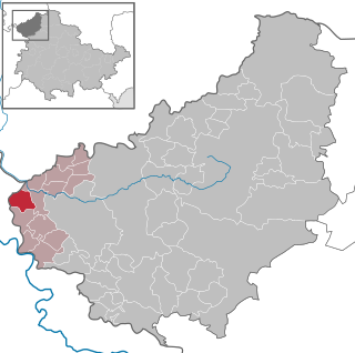
Hohengandern is a municipality in the district of Eichsfeld in Thuringia, Germany. It is part of the Verwaltungsgemeinschaft Hanstein-Rusteberg.

Kirchgandern is a municipality in the district of Eichsfeld in Thuringia, Germany. It is part of the Verwaltungsgemeinschaft Hanstein-Rusteberg. Kirchgandern was first mentioned in documentary in 1118.

Rustenfelde is a municipality in the district of Eichsfeld in Thuringia, Germany. It is part of the Verwaltungsgemeinschaft Hanstein-Rusteberg.

Schachtebich is a municipality in the district of Eichsfeld in Thuringia, Germany. It is part of the Verwaltungsgemeinschaft Hanstein-Rusteberg.

Heuthen is a municipality in the district of Eichsfeld in Thuringia, Germany. It is the seat of a fourth-order administrative division. In 2017 it had a population of 764.
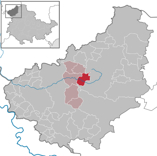
Wingerode is a municipality in the district of Eichsfeld in Thuringia, Germany. In 1996, Wingerode celebrated its 850th anniversary. It was founded in 1146.
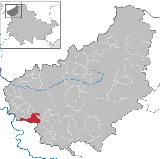
Asbach-Sickenberg is a municipality in the district of Eichsfeld, in Thuringia, Germany. As a result of the 1945 Wanfried agreement, formerly Hessian Asbach-Sickenberg became part of the Soviet occupation zone and the later German Democratic Republic.

Röhrig is a municipality in the district of Eichsfeld in Thuringia, Germany.

Ohrdruf is a small town in the district of Gotha in the German state of Thuringia. It lies some 30 km southwest of Erfurt at the foot of the northern slope of the Thuringian Forest. The former municipalities Crawinkel, Gräfenhain and Wölfis were merged into Ohrdruf in January 2019.

The von Westernhagen are a German noble family.


