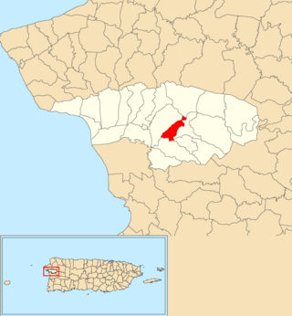
Hato Tejas is a barrio in the municipality of Bayamón, Puerto Rico. Its population in 2010 was 41,851.

Casey Arriba is a barrio in the municipality of Añasco, Puerto Rico. Its population in 2010 was 549.

Río Cañas is a barrio in the municipality of Añasco, Puerto Rico. Its population in 2010 was 300.

Calabazas is a barrio in the municipality of Yabucoa, Puerto Rico. Its population in 2010 was 7,675.

Espino is a barrio in the municipality of Añasco, Puerto Rico. Its population in 2010 was 1407.

Juan Martín is a barrio in the municipality of Yabucoa, Puerto Rico. Its population in 2010 was 3,891.

Playa is a barrio in the municipality of Yabucoa, Puerto Rico. Its population in 2010 was 4,915.

Río Arriba is a barrio in the municipality of Añasco, Puerto Rico. Its population in 2010 was 138.

Camino Nuevo is a barrio in the municipality of Yabucoa, Puerto Rico. Its population in 2010 was 3,391.

Guayabota is a barrio in the municipality of Yabucoa, Puerto Rico. Its population in 2010 was 3,124.

Jácanas is a barrio in the municipality of Yabucoa, Puerto Rico. Its population in 2010 was 3,246.

Limones is a barrio in the municipality of Yabucoa, Puerto Rico. Its population in 2010 was 3,234.
Punta Arenas is a barrio in the island-municipality of Vieques, Puerto Rico. Its population in 2010 was 0.

Galateo is a barrio in the municipality of Toa Alta, Puerto Rico. Its population in 2010 was 5,917.

Saco is a barrio in the municipality of Ceiba, Puerto Rico. Its population in 2010 was 1,815.

Yabucoa barrio-pueblo is a barrio and the administrative center (seat) of Yabucoa, a municipality of Puerto Rico. Its population in 2010 was 2,593.

Aguacate is a barrio in the municipality of Yabucoa, Puerto Rico. Its population in 2010 was 2,828.

Tejas is a barrio in the municipality of Las Piedras, Puerto Rico. Its population in 2010 was 9,488.

Monte Llano is a barrio in the municipality of Cidra, Puerto Rico. Its population in 2010 was 984.

Guamaní is a barrio in the municipality of Guayama, Puerto Rico. Its population in 2010 was 1,455.


