
Delaware is a state in the Mid-Atlantic and Northeastern region of the United States. It borders Maryland to its south and west, Pennsylvania to its north, New Jersey to its northeast, and the Atlantic Ocean to its east. The state's name derives from the adjacent Delaware Bay, which in turn was named after Thomas West, 3rd Baron De La Warr, an English nobleman and the Colony of Virginia's first colonial-era governor.

Dover is the capital and second-most populous city of the U.S. state of Delaware. It is also the county seat of Kent County and the principal city of the Dover metropolitan statistical area, which encompasses all of Kent County and is part of the Philadelphia–Wilmington–Camden, PA–NJ–DE–MD, combined statistical area. It is located on the St. Jones River in the Delaware River coastal plain. It was named by William Penn for Dover in Kent, England. As of 2020, its population was 39,403.

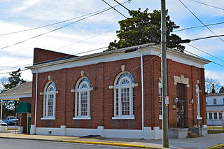
Bowers is a town in Kent County, Delaware, United States. It is part of the Dover metropolitan area. According to the 2020 census, its population was 278.
Frederica is a town in Kent County, Delaware, United States. It is part of the Dover metropolitan area. The population was 1,073 in 2020. ILC Dover, the company which manufactured the spacesuits for the Apollo and Skylab astronauts of the 1960s and 1970s, along with fabricating the suit component of the Space Shuttle's Extravehicular Mobility Unit (EMU), is located nearby.
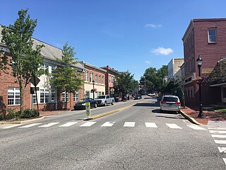
Milford is a city in Kent and Sussex counties in the U.S. state of Delaware. According to the 2020 census, the population of the city is 11,190 people and 4,356 households in the city.

Elsmere is a town in New Castle County, Delaware, United States, bordering the city of Wilmington along Wilmington's western border. According to the 2010 Census, the population of the town is 6,131.
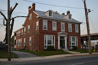
Newport is a town in New Castle County, Delaware, United States. It is on the Christina River. It is best known for being the home of colonial inventor Oliver Evans. The population was 1,055 at the 2010 census. Four limited access highways, I-95, I-295, I-495, and Delaware Route 141 intersect within one mile (1.6 km) of the town.

U.S. Route 113 (US 113) is a U.S. Highway that is a spur of US 13 in the U.S. states of Maryland and Delaware. The route runs 74.75 miles (120.30 km) from US 13 in Pocomoke City, Maryland, north to Delaware Route 1 (DE 1) in Milford, Delaware. In conjunction with DE 1, US 113 is one of two major north–south highways on the Delmarva Peninsula that connect Dover with Pocomoke City and the Eastern Shore of Virginia. The U.S. Highway is the primary north–south highway in Worcester County, Maryland, where it connects Pocomoke City with Snow Hill and Berlin. US 113 is one of three major north–south highways in Sussex County, Delaware, where it connects Selbyville, Millsboro, and Georgetown with Milford. While US 113 does not pass through Ocean City or the Delaware Beaches, the U.S. Highway intersects several highways that serve the Atlantic seaboard resorts, including US 50, Maryland Route 90 (MD 90), US 9, DE 404, DE 16, and DE 1. US 113 is a four-lane divided highway for its whole length.

Delaware Route 1 (DE 1) is the longest numbered state highway in the U.S. state of Delaware. The route runs 102.63 mi (165.17 km) from the Maryland state line in Fenwick Island, Sussex County, where the road continues south into that state as Maryland Route 528 (MD 528), north to an interchange with Interstate 95 (I-95) in Christiana, New Castle County, where the roadway continues north as part of DE 7. Between Fenwick Island and Dover Air Force Base in Dover, Kent County, DE 1 is a multilane divided highway with at-grade intersections and occasional interchanges. The route heads north through the Delaware Beaches resort area along the Atlantic Ocean before it runs northwest through rural areas, turning north at Milford to continue to Dover. Upon reaching Dover, DE 1 becomes the Korean War Veterans Memorial Highway, a freeway that is partially tolled. Between Dover and Tybouts Corner, DE 1 parallels U.S. Route 13 (US 13), crossing over and featuring interchanges with it multiple times. Past Tybouts Corner, the freeway heads north parallel to DE 7 to the northern terminus of DE 1 in Christiana. DE 1 serves as the main north-south state highway in Delaware, connecting the Delaware Beaches with the Dover and Wilmington areas.
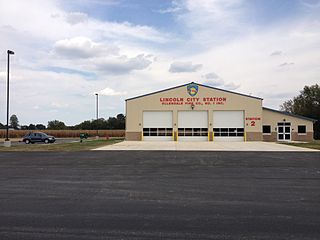
Lincoln is an unincorporated community in northern Sussex County, Delaware, United States. It is part of the Salisbury, Maryland-Delaware Metropolitan Statistical Area. The planner who originally laid out the town planned for it to become the county seat. Lincoln lies on U.S. Route 113 between Ellendale and Milford. The town was never incorporated, but streets were laid out and several businesses and residences came, surrounding the current Delmarva Central Railroad line. Lincoln was formerly the headquarters of the Delaware Coast Line Railroad.
Zoar is an unincorporated community located in Sussex County, Delaware, United States.
Edenridge is an unincorporated community in New Castle County, Delaware, United States in the Brandywine Hundred, north of Wilmington.

Woodbrook is a suburban community in New Castle County, Delaware.
Angola is an unincorporated community adjacent to the Angola Neck peninsula in Sussex County, Delaware, United States. Angola is located on an inlet of Rehoboth Bay and is near Delaware Route 24. It is a population center for the Indian River Hundred.
Loveville was an unincorporated community in New Castle County, Delaware, United States.
Milford Crossroads is an unincorporated community in New Castle County, Delaware, United States. Milford Crossroads is located along Delaware Route 72, at the intersection of Possum Park Road/Thompson Station Road and Paper Mill Road, northeast of Newark.

The Delaware State Route System consists of roads in the U.S. state of Delaware that are maintained by the Delaware Department of Transportation (DelDOT). The system includes the portions of the Interstate Highway System and United States Numbered Highways system located in the state along with state routes and other roads maintained by DelDOT. All roads maintained by the state are assigned a maintenance road number that is only marked on little white markers at intersections and on auxiliary plates below warning signs approaching intersections. These numbers are only unique in a specific county; some roads can be designated with multiple road numbers, and numbers do not necessarily correspond to the signed Interstate, U.S., or state route numbers. DelDOT maintains a total of 5,386.14 miles (8,668.15 km) of roads, comprising 89 percent of the roads within the state. Some large bridges in the state are maintained by other agencies including the U.S. Army Corps of Engineers and the Delaware River and Bay Authority. Roads in the system include multilane freeways, multilane surface divided highways, and two-lane undivided roads serving urban, suburban, and rural areas. Some of the roads maintained by DelDOT are toll roads, in which motorists must pay to use.
Overbrook is an unincorporated community and former village in Sussex County, Delaware, United States.
Riverside–11th Street Bridge is a district in the northeastern section of Wilmington, Delaware.


