Sizewell is an English fishing hamlet in the East Suffolk district of Suffolk, England. It belongs to the civil parish of Leiston and lies on the North Sea coast just north of the larger holiday village of Thorpeness, between the coastal towns of Aldeburgh and Southwold. It is 2 miles (3.2 km) east of the town of Leiston and belongs within the Suffolk Coast and Heaths AONB. It is the site of two nuclear power stations, one of them still active. There have been tentative plans for a third station to be built at the site.

Stoke-by-Nayland is a village and civil parish in the Babergh district, in the county of Suffolk, England, close to the border with Essex. The parish includes the village of Withermarsh Green and the hamlets of Thorington Street and Scotland Street. The village has many cottages and timber-framed houses, all surrounding a recreation field. Possibly once the site of a monastery, the population of the civil parish was 703 at the 2001 Census, falling to 682 at the 2011 Census.

Acton is a village and civil parish in the English county of Suffolk. The parish also includes the hamlets of Cuckoo Tye and Newman's Green.

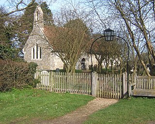
Whepstead is a village and civil parish in the West Suffolk district of Suffolk in eastern England, located south of Bury St Edmunds. Once the property of Bury Abbey it became a possession of the Drury family at the Dissolution of the Monasteries in the 16th century. Whepstead Church is dedicated to St Petronilla the only such dedication in England.

Ampton is a village and civil parish in the West Suffolk District of Suffolk, England, about five miles north of Bury St Edmunds.
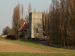
Athelington is a small village and civil parish in the Mid Suffolk district of Suffolk, England, about 12 miles (19 km) south-east from Diss. The name is derived from the Old English word Ætheling. The population of the village was less than 50 at the 2011 Census and is included in the civil parish of Redlingfield, in 2005 the population was estimated as 30.

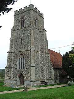
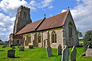
Badingham is a civil parish in the East Suffolk district of eastern England, in the county of Suffolk. It is situated 21.8 miles north east of Ipswich, 35 miles (56 km) away from Norwich and 13 miles (21 km) away from the coast. With the road "A1120" slicing through the middle of the parish. Badingham's name is Anglo-Saxon and means "the farmstead of Bada’s people". Badingham contains a significant number of farms, sparse amount of housing, numerous B&Bs as well as St. John's Church.

Boxford is a village and civil parish in the Babergh district of Suffolk, England. Located around six miles east of Sudbury straddling the River Box and skirted by the Holbrook. The parish includes the hamlets of Calais Street, Hagmore Green and Stone Street. In 2021 the built-up area had a population of 833. In 2021 the parish had a population of 1403. The parish borders Assington, Edwardstone, Groton, Kersey, Newton and Polstead. There are 87 listed buildings in Boxford. Boxford became a conservation area in 1973.
Thedwastre was a hundred of the county of Suffolk, England covering an area of 40,362 acres (163.34 km2). It formed part of the Liberty of Saint Edmund, under the jurisdiction of the abbots of Bury St Edmunds.

Edwardstone is a village and civil parish in the Babergh district, in the county of Suffolk, England. The parish contains the hamlets of Mill Green, Priory Green, Round Maple and Sherbourne Street, and Edwardstone Woods, a Site of Special Scientific Interest. In 2021 the parish had a population of 375. The parish borders Boxford, Great Waldingfield, Groton, Little Waldingfield, Milden and Newton.
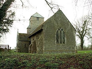
Milden is a village and civil parish in the Babergh district, in Suffolk, England. Located around 4+1⁄2 miles from Sudbury. In 2021 the parish had a population of 118. The parish borders Brent Eleigh, Edwardstone, Groton, Lindsey, Little Waldingfield and Monks Eleigh. There are 18 listed buildings in Milden. St Peter's Church is a Grade I listed building.

Groton is a village and civil parish in the Babergh district, Suffolk, England, located around a mile north of the A1071 between Hadleigh and Sudbury. In 2021 the parish had a population of 299.

Great Bealings is a small village in Suffolk, England. It has about 302 people living in it in around 113 households. Its nearest towns are Ipswich and Woodbridge. Nearby villages include Little Bealings, Playford, Culpho, Hasketon and Grundisburgh. The village does not have an obvious centre, and the population is split between two areas — one around Lower Street to the East of the village, and the other at Boot Street/Grundisburgh Road to the West of the village. St Mary's, the village church, is about in the middle of these two centres of population.

Clopton is a village and civil parish in Suffolk. It is located between Ipswich and Debenham two kilometres north of Grundisburgh on the River Lark. The village is no larger than a series of houses either side of the B1078, surrounded by farm land. The village itself has no clear centre; houses and other buildings are concentrated around the four manors of Kingshall, Brendhall, Rousehall and Wascolies, all of which are mentioned in the Domesday Book of 1086.
Ringshall is a village and civil parish in the Mid Suffolk district of Suffolk in eastern England. Located around four miles south of Stowmarket, and 13 miles north west of Ipswich.

Timworth is a village and civil parish 65 mi (105 km) north east of London and 26 mi (42 km) east of Cambridge in the West Suffolk district of Suffolk in eastern England. Located around two miles north of Bury St Edmunds, its 2005 population was 50. At the 2011 Census the population was included in Ampton.

Chevington is a village and civil parish in the West Suffolk district of Suffolk in East Anglia, England. Located around 10 km south-west of Bury St Edmunds, in 2005 its population was 630, reducing to 602 at the 2011 Census. The parish also contains the hamlets of Broad Green and Tan Office Green.
Hawkedon is a village and civil parish in the West Suffolk district of Suffolk in eastern England. Located around 7 miles (11 km) south-south-west of Bury St Edmunds, the parish also contains the hamlet of Thurston End, and in 2005 had a population of 120. The majority of the village is classed as a conservation area.
Rooksey Green is a hamlet in the parish of Preston St Mary, in the Babergh District in the English county of Suffolk.

Cosford Rural District was a rural district in the administrative county of West Suffolk, England. It was created in 1894 out of the earlier Cosford rural sanitary district, except for Hadleigh parish which was made a separate urban district. Only minor adjustments were made to its boundary in the reorganisation of 1935. It was named after the historic hundred of Cosford, although the rural district covered a significantly larger area that included most of Cosford hundred and part of the neighbouring hundred of Babergh.