The Three States area may have been developed during an oil boom in the early 1920s. County maps from the next decade showed homes and businesses scattered along the highway. It then showed houses on the Texas side of the community and small businesses on the Louisiana and Arkansas sides in the last half of the 20th century. Its population was 45 in 2000.[2]
Geography
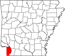
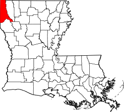
Three States is located on Texas State Highway 77, 9mi (14km) southeast of Atlanta on the eastern border of Cass County, the northwestern border of Caddo Parish in Louisiana, and the southwestern corner of Miller County in Arkansas.[2]
This page is based on this Wikipedia article Text is available under the CC BY-SA 4.0 license; additional terms may apply. Images, videos and audio are available under their respective licenses.