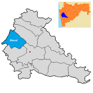
Maval taluka is a taluka in Mawal subdivision of Pune district of state of Maharashtra in India.
Adhale Budruk is a village and gram panchayat in India, situated in Mawal taluka of Pune district in the state of Maharashtra. It encompasses an area of 872 ha.
Adhe Khurd is a village and gram panchayat in India, situated in Mawal taluka of Pune district in the state of Maharashtra in India. It encompasses an area of 446.60 ha.
Ajivali is a village and gram panchayat in India, situated in Mawal taluka of Pune district in the state of Maharashtra. It encompasses an area of 469 ha.
Ambegaon is a village and gram panchayat in India, situated in Mawal taluka of Pune district in the state of Maharashtra. It encompasses an area of 288 ha.
Dahuli is a village and gram panchayat in India, situated in Mawal taluka of Pune district in the state of Maharashtra. It encompasses an area of 579 ha.
Done is a village and gram panchayat in India, situated in Mawal taluka of Pune district in the state of Maharashtra. It encompasses an area of 612 ha.
Dongargaon is a village and gram panchayat in India, situated in Mawal taluka of Pune district in the state of Maharashtra. It encompasses an area of 328.47 ha.
Ghonshet is a village and gram panchayat in India, situated in Mawal taluka of Pune district in the state of Maharashtra. It encompasses an area of 369.77 ha.
Godumbare is a village and gram panchayat in India, situated in Mawal taluka of Pune district in the state of Maharashtra. It encompasses an area of 279.05 ha.
Kalhat is a village and gram panchayat in India, situated in Mawal taluka of Pune district in the state of Maharashtra. It encompasses an area of 1,070 ha.
Kambare Andar Mawal, also known as Kambre Andar Mawal, is a village and gram panchayat in India, situated in Mawal taluka of Pune district in the state of Maharashtra. It encompasses an area of 433 ha.
Kondivade Andar Mawal is a village and gram panchayat in India, situated in Mawal taluka of Pune district in the state of Maharashtra. It encompasses an area of 496.04 ha.
Kusgaon Pawan Mawal is a village and gram panchayat in India, situated in Mawal taluka of Pune district in the state of Maharashtra. It encompasses an area of 844.05 ha.
Malewadi is a village in India, situated in Mawal taluka of Pune district in the state of Maharashtra. It encompasses an area of 431.92 ha.
Pale Nane Mawal is a village in India, situated in Mawal taluka of Pune district in the state of Maharashtra. It encompasses an area of 319.49 ha.
Patan is a village and gram panchayat in India, situated in Mawal taluka of Pune district in the state of Maharashtra. It encompasses an area of 395.95 ha.
Shirdhe is a village and gram panchayat in India, situated in the Mawal taluka of Pune district in the state of Maharashtra. It encompasses an area of 565 ha.
Sangavi is a village in India, situated in the Baramati taluka on the river of nira of Pune district in the state of Maharashtra. It encompasses an area of 400.03 ha.
Nandgaon in Mawal taluka of Pune district, Maharashtra, India, was listed as a village in the 2011 Census of India but was recorded as being uninhabited at that time, as it also was in 2001. It comprised an area of 793 ha.