
Trego County is a county located in the U.S. state of Kansas. Its county seat and largest city is WaKeeney. As of the 2020 census, the county population was 2,808. The county was named for Edgar Trego.

Trail Creek is a town in Coolspring and Michigan townships, LaPorte County, Indiana, United States. The population was 2,052 at the 2010 census. It is included in the Michigan City, Indiana-La Porte, Indiana Metropolitan Statistical Area.
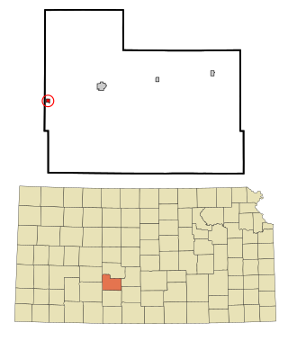
Offerle is a city in Edwards County, Kansas, United States. As of the 2020 census, the population of the city was 179. It is located along Highway 50.
Alton is a town in Penobscot County, Maine, United States. It is part of the Bangor Metropolitan Statistical Area. The population was 829 at the 2020 census. The community is named after an Alton in England.
Detroit is a town in Somerset County, Maine, United States. The population was 885 at the 2020 census.

Hoyt Lakes is a city in Saint Louis County, Minnesota. The population was 2,020 at the time of the 2020 census.
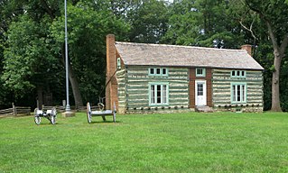
Grantwood Village is a town in St. Louis County, Missouri, United States. The population was 863 at the 2010 census.

Bridger is a town in Carbon County, Montana, United States. It is part of the Billings, Montana Metropolitan Statistical Area. The population was 662 at the 2020 census.

Hanover is a village in Licking County, Ohio, United States. The population was 1,270 at the 2020 census. The village lies along Ohio State Route 16.
Villa Heights is a census-designated place (CDP) in Henry County, Virginia, United States. The population was 717 at the 2010 census. It is part of the Martinsville Micropolitan Statistical Area.

Three Lakes is a census-designated place (CDP) in Snohomish County, Washington, United States. The population was 3,941 at the 2020 census.
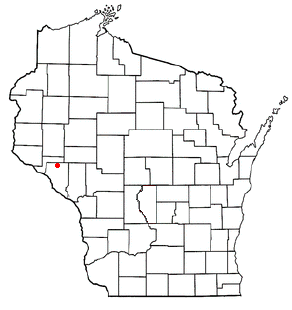
Canton is a town in Buffalo County in the U.S. state of Wisconsin. The population was 305 at the 2010 census. The ghost town of Springdale was located in the town.

Elba is a town in Dodge County, Wisconsin, United States. The population was 1,086 at the 2000 census. The unincorporated communities of Astico and Danville are located in the town.

The Town of McKinley is located in Polk County, Wisconsin, United States. The population was 328 at the 2000 census.

Weirgor is a town in Sawyer County, Wisconsin, United States. The population was 370 at the 2000 census.
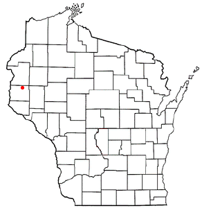
Cylon is a town in St. Croix County, Wisconsin, United States. The population was recorded to be 629 as of the 2000 census.
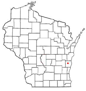
Plymouth is a town in Sheboygan County, Wisconsin. The population was 3,115 at the time of the 2000 census. It is included in the Sheboygan, Wisconsin Metropolitan Statistical Area. The City of Plymouth is located within the town, but is politically independent. The unincorporated community of New Paris is also located in the town.

Withee is a town in Clark County in the U.S. state of Wisconsin. The population was 885 at the 2000 census. The unincorporated community of Lombard is located in the town.
Colfax is a town in Dunn County, Wisconsin, United States. The population was 909 at the 2000 census.
Couderay is a town in Sawyer County, Wisconsin, United States. The population was 469 at the 2000 census. The village of Couderay, the census-designated place of Reserve, and the unincorporated community of Lemington are located within the town. The unincorporated community of Yarnell is located partially in the town.


