Valdez | |
|---|---|
 Valdez | |
| Coordinates: 28°50′43″N081°19′20″W / 28.84528°N 81.32222°W | |
| Country | |
| State | |
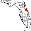
| County | Volusia |
| Elevation | 16 ft (5 m) |
| Time zone | UTC-5 (Eastern (EST)) |
| • Summer (DST) | UTC-4 (EDT) |
| enter ZIP code | 32713 |
| Area code | 386 |
| GNIS feature ID | 292722 [1] |
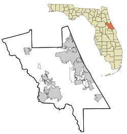
Valdez is an unincorporated community [2] located in southwest Volusia County, Florida, within the city limits of DeBary. Valdez is located along U.S. Highway 17-92 (Charles Richard Beall Blvd.) where it intersects with Barwick Road, just north of the St. Johns River.