Wheeler's Point, Minnesota | |
|---|---|
 Wheeler's Point  Wheeler's Point | |
| Coordinates: 48°50′16″N94°41′52″W / 48.837761°N 94.697709°W | |
| Country | United States |
| State | Minnesota |
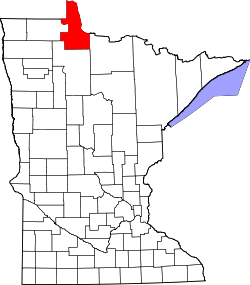
| County | Lake of the Woods |
| Township | Wheeler |
| Elevation | 1,070 ft (330 m) |
| Time zone | UTC-6 (Central (CST)) |
| • Summer (DST) | UTC-5 (CDT) |
| Area code | 218 |
| GNIS feature ID | 654059 [1] |
Wheeler's Point is an unincorporated community in Wheeler Township, Lake of the Woods County, Minnesota, United States. It is 12 miles north of Baudette.
Contents
County Road 8 and Minnesota State Highway 172 are two of the main routes in the community.
Wheeler's Point is located at the Four Mile Bay at the southern end of the Lake of the Woods. The entry to the Rainy River is also at this point.
The community of Hackett and Zippel Bay State Park are also nearby.