Sarojaninagar, also spelled Sarojini Nagar, is a community development block in Lucknow district, Uttar Pradesh, India. It is part of the tehsil of Lucknow and it includes 90 villages. As of 2011, its population was 224,045, in 40,923 households.

Deopuri, also spelled Devpuri, is a village in Bachhrawan block of Rae Bareli district, Uttar Pradesh, India. As of 2011, its population is 1,188, in 244 households. Located 2 km from Bachhrawan, Deopuri was historically the last village held by the zamindars descended from Qazi Sultan, the first zamindar of the pargana of Thulendi in the 1400s.

Churwa is a village in Bachhrawan block of Rae Bareli district, Uttar Pradesh, India. It is located 6 km from Bachhrawan, the block headquarters, and the main staple foods are wheat and rice. As of 2011, its population is 1,661, in 323 households.

Shivgarh is a Nagar Panchayat or Notified Area Council (NAC) in Rae Bareli district, Uttar Pradesh, India. As of 2011, its population is 2,812, in 536 households. It has 6 primary schools and 1 healthcare centre. It hosts a Ramlila festival on Agrahayana Sudi 5-11, which involves a dramatic reenactment of the Ramayana. Vendors bring farm tools, earthenware pots, bamboo baskets, toys, and sweets to sell at the festival. Shivgarh also hosts market weekly twice, on Thursdays and Sundays, which mostly deals in grain and kirana.

Sarai Chhatardhari is a village in Shivgarh block of Rae Bareli district, Uttar Pradesh, India. As of 2011, its population is 1,932, in 351 households. It has one primary school and no healthcare facilities.

Ashrafpur is a village in Singhpur block of Rae Bareli district, Uttar Pradesh, India. As of 2011, its population is 1,373, in 262 households. It has no schools and no healthcare facilities.

Naukhera is a village in Singhpur block of Rae Bareli district, Uttar Pradesh, India. As of 2011, its population is 1,668, in 298 households. It has no schools and no healthcare facilities.

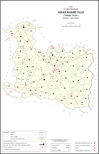
Bhadmar is a village in Tiloi block of Rae Bareli district, Uttar Pradesh, India. As of 2011, its population is 2,038, in 349 households.

Ramnagar is a village in Tiloi block of Rae Bareli district, Uttar Pradesh, India. As of 2011, its population is 1,389, in 248 households.

Satwa is a village in Tiloi block of Rae Bareli district, Uttar Pradesh, India. As of 2011, its population is 743, in 147 households. It has one primary school and no healthcare facilities.

Chak Dahiramau is a village in Bahadurpur block of Rae Bareli district, Uttar Pradesh, India. As of 2011, its population is 532, in 106 households. It has one primary school and no healthcare facilities.

Ambahar is a village in Harchandpur block of Rae Bareli district, Uttar Pradesh, India. As of 2011, its population is 192, in 29 households. It has no schools and no healthcare facilities.

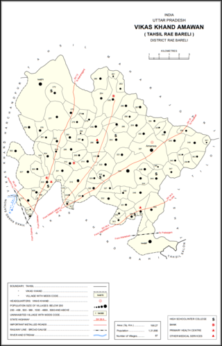
Adampur is a village in Amawan block of Rae Bareli district, Uttar Pradesh, India. As of 2011, its population is 1,779, in 323 households. It has one primary school and no healthcare facilities.

Kondras Khurd is a village in Amawan block of Rae Bareli district, Uttar Pradesh, India. It is located 5 km from Raebareli, the district headquarters. As of 2011, its population is 296, in 61 households.

Sultanpur Aima is a village in Rahi block of Rae Bareli district, Uttar Pradesh, India. It is located 5 km from Rae Bareli, the district headquarters. As of 2011, it has a population of 448 people, in 78 households. It has one primary school and no healthcare facilities.

Umramau, also spelled Umaramau, is a village in Dalmau block of Rae Bareli district, Uttar Pradesh, India. As of 2011, it has a population of 1,631 people, in 280 households. It has one primary school and no healthcare facilities.

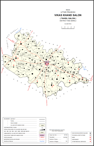
Reoli, also spelled Rewli or Rewali, is a village in Salon block of Rae Bareli district, Uttar Pradesh, India. It is located 7 km from Salon, the tehsil headquarters. As of 2011, Reoli has a population of 2,118 people, in 368 households. It has one primary school and no healthcare facilities.

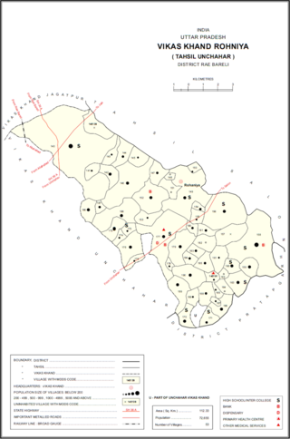
Sarai Akhtiar is a village in Rohaniya block of Rae Bareli district, Uttar Pradesh, India. It is located 40 km from Raebareli, the district headquarters. As of 2011, it has a population of 1,731 people, in 305 households. It has two primary schools and no healthcare facilities, and it hosts both a permanent market and a weekly haat.

Umran, also spelled Umaran, is a village in Rohaniya block of Rae Bareli district, Uttar Pradesh, India. It is located 44 km from Raebareli, the district headquarters. As of 2011, it has a population of 4,786 people, in 918 households. It has one primary school and one primary health sub centre. It hosts a haat on Mondays and Fridays.

Parbat Khera is a village in Sareni block of Rae Bareli district, Uttar Pradesh, India. It is located 11 km from Lalganj, the tehsil headquarters. As of 2011, it has a population of 437 people, in 77 households. It has one primary school and no healthcare facilities and does not host a weekly haat or a permanent market. It belongs to the nyaya panchayat of Malkegaon.


