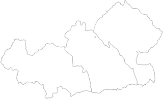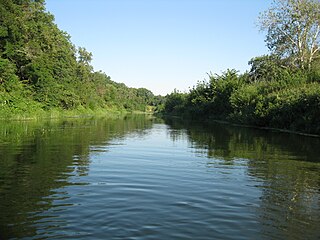
Kamyshlov or Qamışlı is a town in Sverdlovsk Oblast, Russia, located on the left bank of the Pyshma River at its confluence with the Kamyshlov River. Population: 26,870 (2010 Census); 28,914 (2002 Census); 33,462 (1989 Soviet census).
Kamchatka Oblast was a federal subject of Russia until June 30, 2007. On July 1, 2007, it was merged with Koryak Autonomous Okrug to form Kamchatka Krai.
The following is a list of Administrative divisions of Tula Oblast.

Agin-Buryat Autonomous Okrug was a federal subject of Russia until February 29, 2008. On March 1, 2008, it was merged with Chita Oblast to form Zabaykalsky Krai. During the transitional period of 2008–2009, it retained a special status within Zabaykalsky Krai.
Koryak Autonomous Okrug was a federal subject of Russia until June 30, 2007. On July 1, 2007 it was merged with Kamchatka Oblast to form Kamchatka Krai. After the merger, it retains a status of an administrative division within Kamchatka Krai.

This is a list of administrative divisions of Perm Krai, a krai of Russia. Overall, the krai has 33 districts, 25 cities or towns, 27 "urban-type settlements", 3,961 rural localities, and 342 "uninhabited rural localities".

Iskitimsky District is an administrative and municipal district (raion), one of the thirty in Novosibirsk Oblast, Russia. It is located in the east of the oblast. The area of the district is 4,384 square kilometers (1,693 sq mi). Its administrative center is the town of Iskitim. Population: 62,816 ; 66,420 (2002 Census); 67,733 (1989 Soviet census).

Atkarsky District is an administrative and municipal district (raion), one of the thirty-eight in Saratov Oblast, Russia. It is located in the northwest of the oblast. The area of the district is 2,700 square kilometers (1,000 sq mi). Its administrative center is the town of Atkarsk. Population: 16,550 ; 17,915 (2002 Census); 16,994 (1989 Soviet census).

Balashovsky District is an administrative and municipal district (raion), one of the thirty-eight in Saratov Oblast, Russia. It is located in the west of the oblast. The area of the district is 2,924.56 square kilometers (1,129.18 sq mi). Its administrative center is the town of Balashov. Population: 31,125 ; 34,599 (2002 Census); 33,835 (1989 Soviet census).

Engelssky District is an administrative and municipal district (raion), one of the thirty-eight in Saratov Oblast, Russia. It is located in the center of the oblast. The area of the district is 3,100 square kilometers (1,200 sq mi). Its administrative center is the city of Engels. Population: 44,832 ; 44,528 (2002 Census); 42,312 (1989 Soviet census).

Krasnoarmeysky District is an administrative and municipal district (raion), one of the thirty-eight in Saratov Oblast, Russia. It is located in the south of the oblast. The area of the district is 3,300 square kilometers (1,300 sq mi). Its administrative center is the town of Krasnoarmeysk which is not administratively a part of the district). Population: 24,375 ; 25,192 (2002 Census); 23,404 (1989 Soviet census).

Petrovsky District is an administrative and municipal district (raion), one of the thirty-eight in Saratov Oblast, Russia. It is located in the north of the oblast. The area of the district is 2,300 square kilometers (890 sq mi). Its administrative center is the town of Petrovsk. Population: 14,538 ; 16,474 (2002 Census); 15,104 (1989 Soviet census).

Rtishchevsky District is an administrative and municipal district (raion), one of the thirty-eight in Saratov Oblast, Russia. It is located in the northwest of the oblast. The area of the district is 2,300 square kilometers (890 sq mi). Its administrative center is the town of Rtishchevo. Population: 17,383 ; 19,546 (2002 Census); 21,857 (1989 Soviet census).

Saratovsky District is a former administrative and municipal district (raion), one of the thirty-eight in Saratov Oblast, Russia. On January 1, 2022, it was transformed into an administrative district; on May 13, 2022, it was renamed Gagarinsky District. It was located in the center of the oblast. The area of the district was 1,900 square kilometers (730 sq mi). Its administrative center was the city of Saratov. Population: 48,105 ; 46,233 (2002 Census); 45,252 (1989 Soviet census).

Volsky District is an administrative and municipal district (raion), one of the thirty-eight in Saratov Oblast, Russia. It is located in the north of the oblast. The area of the district is 3,700 square kilometers (1,400 sq mi). Its administrative center is the town of Volsk. Population: 27,457 ; 29,977 (2002 Census); 34,174 (1989 Soviet census).
Leninsk is the name of several inhabited localities in Russia.


