Aggregates, West Virginia | |
|---|---|
 Aggregates  Aggregates | |
| Coordinates: 38°56′10″N79°55′07″W / 38.93611°N 79.91861°W | |
| Country | United States |
| State | West Virginia |
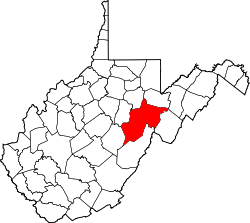
| County | Randolph |
| Elevation | 1,933 ft (589 m) |
| Population (2000) | |
• Total | 32 |
| Time zone | UTC-5 (Eastern (EST)) |
| • Summer (DST) | UTC-4 (EDT) |
| GNIS ID | 1553702 [1] |
Aggregates is an unincorporated community in Randolph County, West Virginia, USA. It is situated on the Tygart Valley River about 2 miles above its confluence with Roaring Creek and about 2 miles below Elkins.