Al Hawiyah | |
|---|---|
Village | |
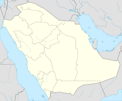 Al Hawiyah Location in Saudi Arabia | |
| Coordinates: 21°26′28″N40°29′51″E / 21.44111°N 40.49750°E | |
| Country | |
| Province | Makkah Province |
| Time zone | UTC+3 (EAT) |
| • Summer (DST) | UTC+3 (EAT) |
Al Hawiyah is a town in Makkah Province, located 15 kilometres (9+1⁄2 miles) from Ta'if. It was a small suburb in the past. Currently it has expanded to include more than 15 residential neighborhoods, with an area of 80 square kilometres (31 sq mi) and is inhabited with many different classes of Saudi society. The population of Al Hawiya in 2010 was about 200,000 according to the last national census. [1] Nowadays, Al Hawiyah is considered as an emerging vibrant area with many government facilities. And currently known as North of Ta'if city.
Contents
Al Hawiya is about 214 kilometres (133 mi) from Al-Waba Crater. [2]