| Ashangi Basalts | |
|---|---|
| Stratigraphic range: | |
 West of Kerene Dogu'a Tembien) | |
| Type | Geological formation |
| Underlies | Alaji Basalts, Intra-volcanic sedimentary rock |
| Overlies | Amba Aradam Formation |
| Lithology | |
| Primary | Porphyritic Basalt |
| Location | |
| Coordinates | 12°34′56″N39°31′11″E / 12.5823°N 39.51984986°E |
| Approximate paleocoordinates | 0°N0°E / 0°N 0°E |
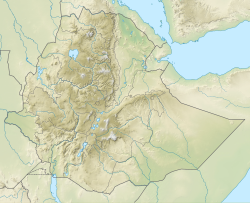
| Region | Tigray |
| Country | Ethiopia |
| Extent | Northern Ethiopian Highlands |
| Type section | |
| Named for | Lake Hashenge |
| Named by | William Thomas Blanford |
 Ashangi Basalts (Ethiopia) | |
The Ashangi Basalts are the earliest Tertiary volcanic rocks in north Ethiopia, hence they are in the lowest position. These dark porphyritic basalts are separated from the Mesozoic formations below it by basal conglomerates. The basalts hold phenocrysts that developed before the magma reached the earth surface. These basalts are weathered, partially eroded and have a sub-horizontal stratification, particularly at the lower part. This series was created during the first period of the flood basalt eruptions in north Ethiopia, in the Oligocene. [1] [2] [3]

