This article needs additional citations for verification .(December 2024) |
Ashley River | |
|---|---|
 Ashley River Location within South Carolina  Ashley River Location within United States | |
| Coordinates: 32°48′29″N80°01′23″W / 32.808°N 80.023°W | |
| Country | |
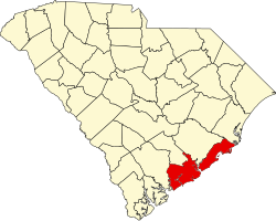
| State | South Carolina |
| County | Charleston |
| Time zone | UTC-5 (Eastern Time Zone) |
| • Summer (DST) | UTC-4 (Eastern Daylight Time) |
| ZIP code | 29407 |
Ashley River is an unincorporated community in Charleston County, South Carolina. Its zip code is 29407. [1] [2]