The Axel Heiberg Glacier in Antarctica is a valley glacier, 30 nautical miles long, descending from the high elevations of the Antarctic Plateau into the Ross Ice Shelf between the Herbert Range and Mount Don Pedro Christophersen in the Queen Maud Mountains.

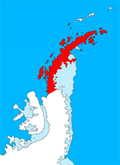
Graham Land is the portion of the Antarctic Peninsula that lies north of a line joining Cape Jeremy and Cape Agassiz. This description of Graham Land is consistent with the 1964 agreement between the British Antarctic Place-names Committee and the US Advisory Committee on Antarctic Names, in which the name "Antarctic Peninsula" was approved for the major peninsula of Antarctica, and the names Graham Land and Palmer Land for the northern and southern portions, respectively. The line dividing them is roughly 69 degrees south.
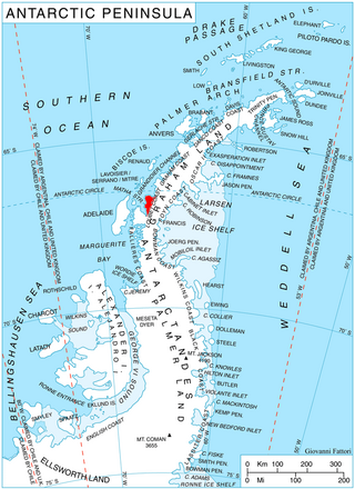
Northeast Glacier is a steep, heavily crevassed glacier, 13 nautical miles long and 5 nautical miles wide at its mouth, which flows from McLeod Hill westward and then south-westwards into Marguerite Bay between the Debenham Islands and Roman Four Promontory, on the west coast of Graham Land, Antarctica.

The Scott Glacier is a major glacier, 120 nautical miles long, that drains the East Antarctic Ice Sheet through the Queen Maud Mountains to the Ross Ice Shelf. The Scott Glacier is one of a series of major glaciers flowing across the Transantarctic Mountains, with the Amundsen Glacier to the west and the Leverett and Reedy glaciers to the east.
Alberts Glacier is a heavily crevassed glacier in Antarctica. It is about 8 miles (13 km) long, and flows east from Avery Plateau, Graham Land, until entering Mill Inlet between Balch Glacier and Southard Promontory.
The Porthos Range is the second range south in the Prince Charles Mountains of Antarctica, extending for about 30 miles in an east-to-west direction between Scylla Glacier and Charybdis Glacier. First visited in December 1956 by the Australian National Antarctic Research Expeditions (ANARE) southern party under W.G. Bewsher (1956-57) and named after Porthos, a character in Alexandre Dumas, père's novel The Three Musketeers, the most popular book read on the southern journey.
Nickerson Ice Shelf, is an ice shelf about 35 nautical miles wide, lying north of Siemiatkowski Glacier and the western part of Ruppert Coast, Marie Byrd Land, Antarctica.

Posadowsky Glacier is a glacier about 9 nautical miles long, flowing north to Posadowsky Bay immediately east of Gaussberg. Posadowsky Bay is an open embayment, located just east of the West Ice Shelf and fronting on the Davis Sea in Kaiser Wilhelm II Land. Kaiser Wilhelm II Land is the part of East Antarctica lying between Cape Penck, at 87°43'E, and Cape Filchner, at 91°54'E, and is claimed by Australia as part of the Australian Antarctic Territory. Other notable geographic features in this area include Drygalski Island, located 45 mi NNE of Cape Filchner in the Davis Sea, and Mirny Station, a Russian scientific research station.

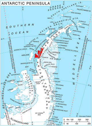
Wilkinson Glacier is a glacier on the south side of Protector Heights on Pernik Peninsula, Loubet Coast in Graham Land, flowing westward into Lallemand Fjord to the south of Holdfast Point. Mapped from air photos taken by Falkland Islands and Dependencies Aerial Survey Expedition (FIDASE) (1956–57). Named by United Kingdom Antarctic Place-Names Committee (UK-APC) for Captain John V. Wilkinson, Royal Navy, captain of HMS Protector in these waters, 1955–56 and 1956–57.
The Anderson Hills are an irregular group of hills, ridges and peaks between Mackin Table and the Thomas Hills in the Patuxent Range, Pensacola Mountains, Antarctica.

Bills Gulch is a glacier on the southeast side of Hemimont Plateau, the northern of two glaciers flowing east from the plateau upland into the head of Trail Inlet, on the east coast of Graham Land. This glacier was used by the sledge party under Paul H. Knowles which traversed the Antarctic Peninsula from the East Base of the United States Antarctic Service (USAS) on its way to Hilton Inlet in 1940. It was named by USAS for a lead dog that died at this point. The unlikely name has been approved because of its wide use on maps and in reports.

Breitfuss Glacier is a glacier 10 nautical miles (19 km) long, which flows southeast from Avery Plateau into Mill Inlet to the west of Cape Chavanne, on the east coast of Graham Land. It was charted by the Falkland Islands Dependencies Survey (FIDS) and photographed from the air by the Ronne Antarctic Research Expedition in 1947. It was named by the FIDS for Leonid Breitfuss, a German polar explorer, historian, and author of many polar bibliographies.
Bryan Coast is that portion of the coast of Antarctica along the south shore of the Bellingshausen Sea between Pfrogner Point and the northern tip of the Rydberg Peninsula. To the west is Eights Coast, and to the east is English Coast.
Orford Cliff is a coastal cliff of Pernik Peninsula, Loubet Coast in Graham Land, overlooking the east side of Lallemand Fjord just east of Andresen Island. Surveyed by Falkland Islands Dependencies Survey (FIDS) in 1956. Named for Michael J.H. Orford, FIDS assistant surveyor at Detaille Island in 1956, a member of the party which found a route from Detaille Island to Avery Plateau, via Orford Cliff and Murphy Glacier.
The Werner Mountains are a group of mountains located just west-southwest of New Bedford Inlet and between the Meinardus Glacier and Bryan Glacier, in Palmer Land, Antarctica.
Mobiloil Inlet is an ice-filled inlet, nurtured by several northeast and east flowing glaciers, lying between the Rock Pile Peaks and Hollick-Kenyon Peninsula along the east coast of the Antarctic Peninsula.
The McDonald Heights are broad, mainly snow-covered heights about 35 nautical miles (65 km) long and rising over 1,000 metres (3,300 ft) between Cape Burks and Morris Head on the coast of Marie Byrd Land, Antarctica. The heights are bounded southward by Hull Glacier, Kirkpatrick Glacier and Johnson Glacier.

McCance Glacier is the 30-km long and 5 km wide glacier draining the Hutchison Hill area on the west slopes of Avery Plateau on Loubet Coast in Graham Land, Antarctica. It flows north-northwestwards along the west side of Osikovo Ridge, Kladnitsa Peak and Rubner Peak and enters Darbel Bay.
Marescot Point is a small but distinctive low rocky point projecting north from Trinity Peninsula, Antarctica, 2.5 nautical miles east of Thanaron Point.

Narezne Glacier is the 7 km long and 2.2 km wide glacier on Loubet Coast in Graham Land, Antarctica situated on the west side of Avery Plateau south of Field Glacier, northwest of the head of Finsterwalder Glacier and north of Haefeli Glacier. It flows northwestwards and joins Field Glacier west of Barziya Peak.


