References
- ↑ U.S. Geological Survey Geographic Names Information System: Bannon, Arizona
- ↑ Bannon, ghostowns.com
- ↑ "Post Offices". Jim Forte Postal History. Retrieved January 5, 2017.
- ↑ Barnes, Will Croft (1960). Arizona place names. University of Arizona Press. p. 4.
Municipalities and communities of Apache County, Arizona, United States | ||
|---|---|---|
| City | 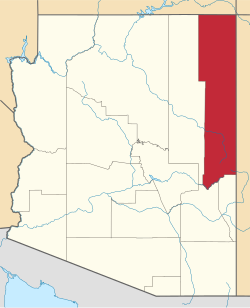 | |
| Towns | ||
| CDPs |
| |
| Populated places | ||
| Indian reservations | ||
| Ghost towns | ||
| Footnotes | ‡This populated place also has portions in an adjacent county or counties | |