Del Muerto, Arizona | |
|---|---|
 Del Muerto | |
| Coordinates: 36°11′15″N109°26′09″W / 36.18750°N 109.43583°W | |
| Country | United States |
| State | Arizona |
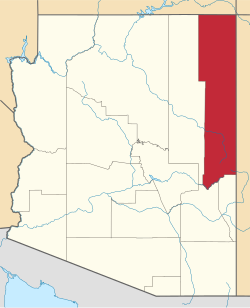
| County | Apache |
| Area | |
• Total | 1.19 sq mi (3.08 km2) |
| • Land | 1.19 sq mi (3.08 km2) |
| • Water | 0 sq mi (0.00 km2) |
| Elevation | 6,477 ft (1,974 m) |
| Population (2020) | |
• Total | 258 |
| • Density | 216.9/sq mi (83.76/km2) |
| Time zone | UTC-7 (MST) |
| • Summer (DST) | UTC-6 (MDT) |
| ZIP code | 86503 [3] |
| Area code | 928 |
| FIPS code | 04-18490 |
| GNIS feature ID | 2582771 [2] |
Del Muerto is a census-designated place (CDP) in Apache County, Arizona, United States. The population was 329 at the 2010 census. [4]