Baptist Mills, Bristol

Last updated

The 21st-century mixed-use development known as Junction 3 now dominates the landscape of Baptist Mills Baptist Mills housing - DSC 0327 01.jpg
The 21st-century mixed-use development known as Junction 3 now dominates the landscape of Baptist Mills

Baptist Mills is an area of the city of Bristol, England. The name derives from the former mills which stood in that area. The area is centred on the River Frome at Junction 3 of the M32 Motorway. [1] Construction of the motorway divided the neighbourhood such that parts west of the road are now often considered to be part of St Werburghs, [2] [3] while parts to the east are often described as being in Easton. [4]

Contents

Geology

The solid geology of Baptist Mills comprises Triassic Redcliffe Sandstone, which is overlain by superficial deposits of Quaternary alluvium in the floodplain of the Horfield Brook and the River Frome. [5]

History

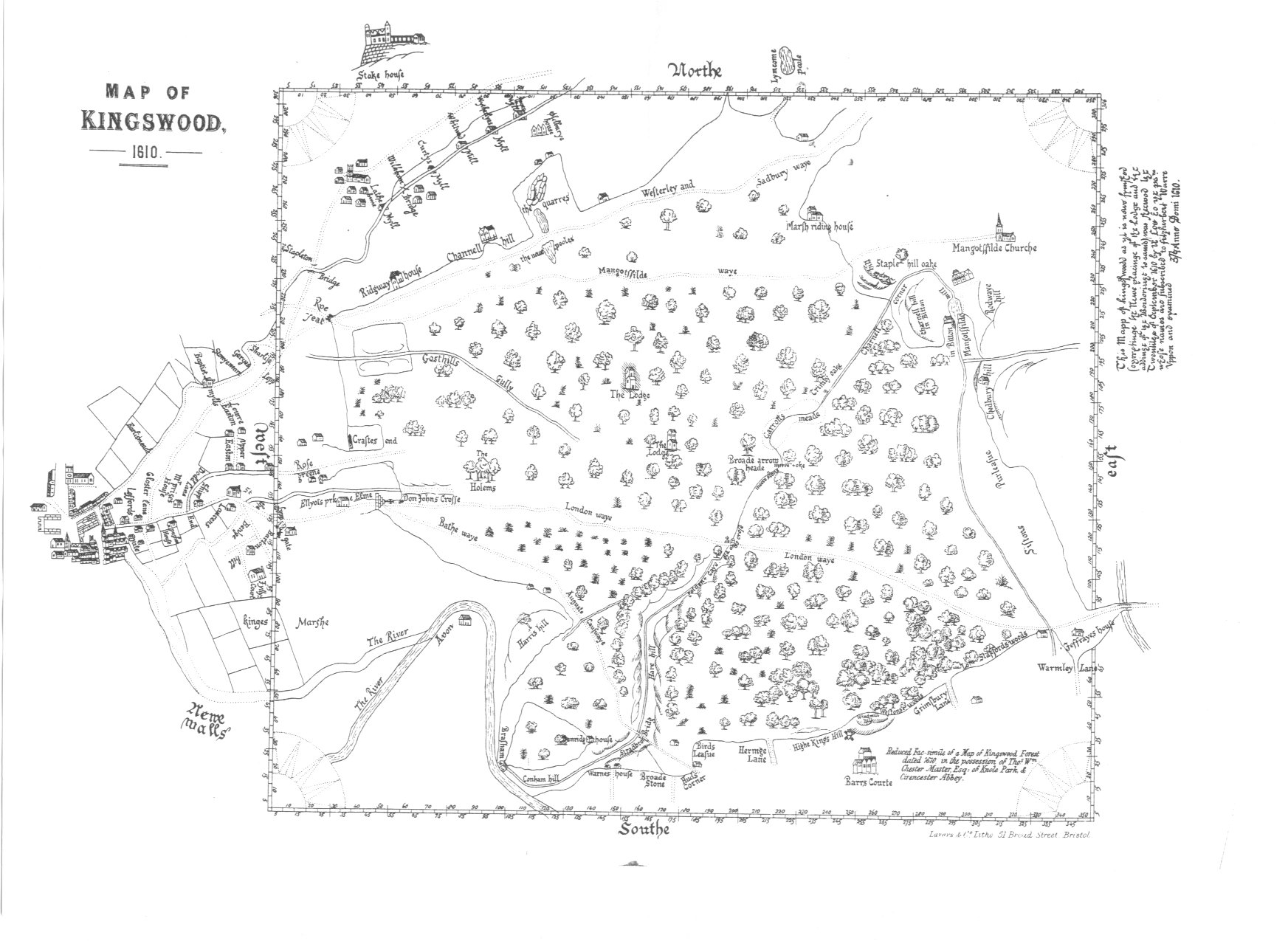
Baptist Mills is so named from the mills that once stood there. A grist (flour) mill is recorded in this area in a document written in 1470, and again in 1610, when they are marked on Chester and Master's Map of Kingswood. [6]

The mills were converted to brass mills by the Bristol Brass Company, formed in 1702 by Abraham Darby, Edward Lloyd, John Andrews, and Arthur Thomas. The venture was financed by a group of Quakers using capital derived in part from the colonial slave trade economy. Other early partners included Benjamin Coole, Nehemiah Champion II, and John and Thomas Coster. [7]

In 1706, further partners were admitted, the business becoming an early unincorporated joint stock company with a capital of £8000. While there, Darby recruited skilled 'Dutchmen' to operate a brass battery with trip hammers. He may also have recruited men skilled in sand moulding as opposed to the loam moulding hitherto used in England. Darby was the active partner in the business, but later withdrew to concentrate on his new ironfounding business at Coalbrookdale. [8] Following Darby's departure around 1708, the works came under the management of Nehemiah Champion III. The works had significantly expanded by 1712 to operate 25 furnaces with an annual production of 250 to 260 tons of brass. [7]

Brass production at the Baptist Mills Brass Works ceased in 1814, and in 1839 parts of the former brass works were acquired Joseph and James White, who established a factory manufacturing "Egyptian Black" pottery, [9] Rockingham teapots and clay tobacco pipes. By 1861 the business was known as the Phoenix Pottery. The pottery closed at some point after 1891. [10]

The last remains of the brass works were destroyed when Junction 3 of the M32 Motorway was constructed in the early 1970s. However, slag blocks made from waste from the works can be found in the area. [1]

References

  1. 1 2 "Baptist Mills". Living Easton. Retrieved 6 October 2012.
  2. Booth, Martin (29 June 2024). "The story of a church dismantled brick by brick and rebuilt a mile and a half away". Bristol24/7.
  3. Yong, Michael (19 May 2018). "The areas in Bristol you are most and least likely to get social housing". Bristol Live.
  4. "Bristol's new Junction 3 library opens". BBC News. 19 March 2013.
  5. "Geology of Britain Viewer". British Geological Survey. Enter Baptist Mills in the Go to Location field. Archived from the original on 2 December 2016. Retrieved 24 August 2012.
  6. Langton, John. "Chester and Master's 1610 Map of Kingswood". Forests and Chases of England and Wales c. 1000 to c. 1850. Oxford: St John's College Research Centre.
  7. 1 2 McNeil, Jim (June 2003). "Early Bristol Quakerism & The Slave Trade". Bristol & Avon Family History Society Journal (112). Bristol & Avon Family History Society: 7–8.
  8. Cox, Nancy (1990). "Imagination and innovation of an industrial pioneer: The first Abraham Darby". Industrial Archaeology Review. 12 (2): 127–144 at 128–9. doi:10.1179/iar.1990.12.2.127.
  9. McNeill, Jim. "J. and J. White's, Baptist Mills Pottery, Bristol – 1840 to 1891". Living Easton. Retrieved 6 October 2012.
  10. Henrywood, R. K. (1992). Bristol Potters 1775–1906". Bristol: Redcliffe Press.

51°27′59″N2°34′28″W / 51.4665°N 2.5745°W / 51.4665; -2.5745