Battisborough Cross | |
|---|---|
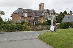 The Crossroads at Battisborough Cross | |
 Battisborough Cross Location in Devon | |
| Coordinates: 50°19′06″N3°58′09″W / 50.31833°N 3.96917°W | |
| Country | United Kingdom |
| Region | South West England |
| County | Devon |
| Postcode District | PL8 |
Battisborough Cross is a hamlet in the parish of Holbeton near Plymouth on the south coast of Devon, England . It is within the South Devon Area of Outstanding Natural Beauty
| | This Devon location article is a stub. You can help Wikipedia by expanding it. |