Bemu Bemo Perak | |
|---|---|
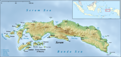 Bemu Location in Seram Island | |
| Coordinates: 3°24′15″S129°58′29″E / 3.40417°S 129.97472°E | |
| Country | Indonesia |
| Province | Maluku |
| Regency | East Seram |
| District | Werinama |
| Time zone | UTC+8 (WITA) |
Bemu, also known as Bemo Perak, is a village on the southeastern coast of the Indonesian island of Seram, just to the south of Atiahu. [1] It is one of the principal settlements on Telutih Bay. [2]