A request that this article title be changed to Camiling is under discussion. Please do not move this article until the discussion is closed. |
Camiling | |
|---|---|
| Municipality of Camiling | |
 Welcome Arch | |
 Seal | |
| Motto(s): Camiling Magaling | |
 Map of Tarlac with Camiling highlighted | |
OpenStreetMap  | |
 Camiling Location within the Philippines | |
| Coordinates: 15°42′N120°25′E / 15.7°N 120.42°E Coordinates: 15°42′N120°25′E / 15.7°N 120.42°E | |
| Country | |
| Region | Central Luzon (Region III) |
| Province | Tarlac |
| District | 1st District |
| Founded | 1838 |
| Barangays | 61 (see Barangays) |
| Government | |
| • Type | Sangguniang Bayan |
| • Mayor | Erlon C. Agustin |
| • Vice Mayor | Noel B. Dela Cruz |
| • Congressman | Carlos O. Cojuangco |
| • Electorate | 51,749 voters (2019) |
| Area | |
| • Total | 140.53 km2 (54.26 sq mi) |
| Population (2015 census) [3] | |
| • Total | 83,248 |
| • Density | 590/km2 (1,500/sq mi) |
| • Households | 19,262 |
| Economy | |
| • Income class | 1st municipal income class |
| • Poverty incidence | 14.56% (2015) [4] |
| • Revenue (₱) | 198,112,291.46 (2016) |
| Time zone | UTC+8 (PST) |
| ZIP code | 2306 |
| PSGC | |
| IDD : area code | +63 (0)45 |
| Climate type | tropical monsoon climate |
| Native languages | Pangasinan Ilocano Tagalog Kapampangan |
| Website | www |
Camiling (Pangasinan : Baley na Camiling; Kapampangan : Balen ning Camiling; Ilocano : Ili ti Camiling; Tagalog : Bayan ng Camiling) is a 1st class municipality of the province of Tarlac in the Philippines. According to the 2015 census, it has a population of 83,248 people. [3]
Contents
- History
- Geography
- Barangays
- Subdivisions and Villages
- Climate
- Demographics
- Language
- Tourism
- Attractions
- Festivals
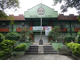
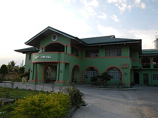
- Local government
- Current Town Officials (2019–2022)
- Hospitals and health service
- Education
- Elementary
- Notable persons
- Sister city
- Gallery
- References
- External links
Camiling is one of the fastest-growing towns of Tarlac when it comes to income and economy. It is also considered as one of the richest when it comes to cultural heritage in the entire province. The town is also dubbed to be the "Old Lady in the Northwestern province of Tarlac" because it is one of the oldest municipality created by the Spanish government under the province of Pangasinan where it previously included the former barrio of Mayantoc, San Clemente, and Santa Ignacia. The municipality also features cultural antiquity such as its churches, ancestral houses, and ruins. However, the baroque church of Camiling has yet to be restored after 20 years since a fire burned its interior. The inside of the church, one of the only two Spanish churches left in Tarlac, has become a cesspool for human waste, while the facade (front) and buttresses (side supports) have been occupied by business establishments. One buttress has been converted by a business store into a toilet. Heritage advocates and Camiling locals have been campaigning for the restoration of the church after the reports came out in March 2018. [5]
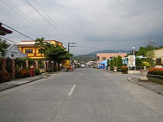
Camiling is the major municipality in north-western Tarlac. It is the commercial center of an area composed of about eight towns, and borders the province of Pangasinan. It is the gateway to central and western Pangasinan through the Romulo Highway (formerly Highway 13). It is also known for its famous "Chicharon Camiling" and its green native rice cake called "Nilubyan".