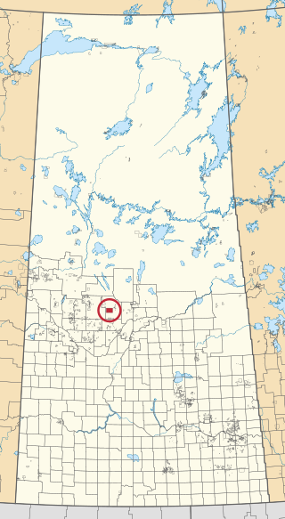
Ahtahkakoop 104 is an Indian reserve of the Ahtahkakoop Cree Nation in Saskatchewan. It is about 72 kilometres (45 mi) northwest of Prince Albert. In the 2016 Canadian Census, it recorded a population of 1,472 living in 386 of its 424 total private dwellings. In the same year, its Community Well-Being index was calculated at 46 of 100, compared to 58.4 for the average First Nations community and 77.5 for the average non-Indigenous community.

Seekaskootch 119 is an Indian reserve of the Onion Lake Cree Nation in Saskatchewan. It is 142 kilometres northwest of North Battleford. In the 2016 Canadian Census, it recorded a population of 2574 living in 578 of its 639 total private dwellings. In the same year, its Community Well-Being index was calculated at 53 of 100, compared to 58.4 for the average First Nations community and 77.5 for the average non-Indigenous community.

Red Earth Cree Nation is a Cree community in Saskatchewan, Canada. It is located 225 kilometres (140 mi) northeast of Prince Albert. The main settlement of Red Earth is located on the Carrot River and accessed by Highway 55. Nearby to the east is the Shoal Lake First Nation.
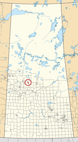
Big River 118 is an Indian reserve of the Big River First Nation in Saskatchewan. It is 98 kilometres northwest of Prince Albert. In the 2016 Canadian Census, it recorded a population of 1553 living in 366 of its 407 total private dwellings. In the same year, its Community Well-Being index was calculated at 46 of 100, compared to 58.4 for the average First Nations community and 77.5 for the average non-Indigenous community.

Buffalo River Dene Nation 193 is an Indian reserve of the Buffalo River Dene Nation in Saskatchewan. It is 84 kilometres northwest of Île-à-la-Crosse. In the 2016 Canadian Census, it recorded a population of 783 living in 233 of its 260 total private dwellings. In the same year, its Community Well-Being index was calculated at 54 of 100, compared to 58.4 for the average First Nations community and 77.5 for the average non-Indigenous community.

Shesheep 74A is an Indian reserve of the Zagime Anishinabek in Saskatchewan. It is on the left bank of the Qu'Appelle River, at the west end of Crooked Lake. In the 2016 Canadian Census, it recorded a population of 111 living in 56 of its 179 total private dwellings. In the same year, its Community Well-Being index was calculated at 81 of 100, compared to 58.4 for the average First Nations community and 77.5 for the average non-Indigenous community.
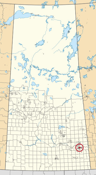
Cowessess 73 is an Indian reserve of the Cowessess First Nation in Saskatchewan. It is 13 kilometres northwest of Broadview. In the 2016 Canadian Census, it recorded a population of 540 living in 190 of its 214 total private dwellings. In the same year, its Community Well-Being index was calculated at 63 of 100, compared to 58.4 for the average First Nations community and 77.5 for the average non-Indigenous community.

Cumberland House Cree Nation 20 is an Indian reserve of the Cumberland House Cree Nation in Saskatchewan. The reserve is on Cumberland Island in the Saskatchewan River Delta, about 96 kilometres (60 mi) south-west of Flin Flon.

Kahkewistahaw 72 is an Indian reserve of the Kahkewistahaw First Nation in Saskatchewan. It is 13 kilometres north of Broadview. In the 2016 Canadian Census, it recorded a population of 502 living in 146 of its 184 total private dwellings. In the same year, its Community Well-Being index was calculated at 58 of 100, compared to 58.4 for the average First Nations community and 77.5 for the average non-Indigenous community.

Little Red River 106C is an Indian reserve of the Lac La Ronge Indian Band in Saskatchewan. It is 34 kilometres north of Prince Albert. In the 2016 Canadian Census, it recorded a population of 354 living in 88 of its 98 total private dwellings. In the same year, its Community Well-Being index was calculated at 48 of 100, compared to 58.4 for the average First Nations community and 77.5 for the average non-Indigenous community.

Montreal Lake 106B is an Indian reserve of the Montreal Lake Cree Nation in Saskatchewan. It is adjacent to Little Red River 106C and 39 kilometres (24 mi) north of Prince Albert. In the 2016 Canadian Census, it recorded a population of 442 living in 113 of its 118 total private dwellings. In the same year, its Community Well-Being index was calculated at 47 of 100, compared to 58.4 for the average First Nations community and 77.5 for the average non-Indigenous community.

Muscowpetung 80 is an Indian reserve of the Muscowpetung First Nation in Saskatchewan. It is 31 kilometres west of Fort Qu'Appelle along the south-west shore of Pasqua Lake, which is one of four Fishing Lakes. In the 2016 Canadian Census, it recorded a population of 275 living in 87 of its 112 total private dwellings. In the same year, its Community Well-Being index was calculated at 54 of 100, compared to 58.4 for the average First Nations community and 77.5 for the average non-Indigenous community.
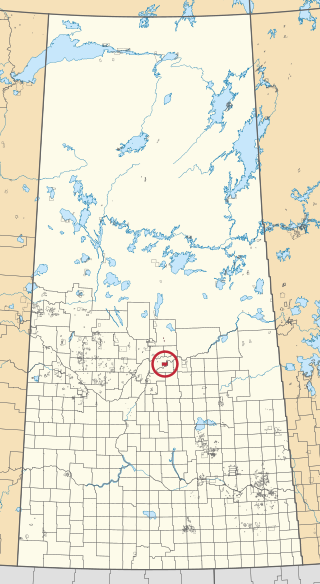
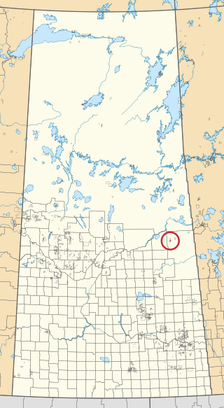
The Muskoday Reserve is an Indian reserve of the Muskoday First Nation in Saskatchewan. It is 19 kilometres southeast of Prince Albert. In the 2016 Canadian Census, it recorded a population of 647 living in 205 of its 217 total private dwellings. In the same year, its Community Well-Being index was calculated at 64 of 100, compared to 58.4 for the average First Nations community and 77.5 for the average non-Indigenous community.
Ochapowace 71 is an Indian reserve of the Ochapowace Nation in Saskatchewan. It is 8 kilometres northeast of Broadview. In the 2016 Canadian Census, it recorded a population of 426 living in 126 of its 138 total private dwellings. In the same year, its Community Well-Being index was calculated at 61 of 100, compared to 58.4 for the average First Nations community and 77.5 for the average non-Indigenous community.

Pelican Narrows 184B is an Indian reserve of the Peter Ballantyne Cree Nation in Saskatchewan. It is 80 kilometres northeast of Flin Flon. In the 2016 Canadian Census, it recorded a population of 1869 living in 327 of its 350 total private dwellings. In the same year, its Community Well-Being index was calculated at 34 of 100, compared to 58.4 for the average First Nations community and 77.5 for the average non-Indigenous community.
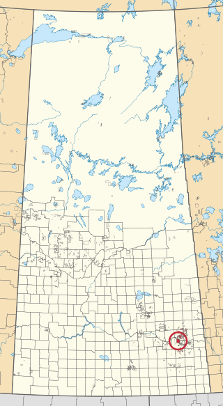
Red Earth 29 is an Indian reserve of the Red Earth Cree Nation in Saskatchewan. It is 75 kilometres east of Nipawin. In the 2016 Canadian Census, it recorded a population of 334 living in 61 of its 82 total private dwellings. In the same year, its Community Well-Being index was calculated at 40 of 100, compared to 58.4 for the average First Nations community and 77.5 for the average non-Indigenous community.

Sakimay 74 is an Indian reserve of the Zagime Anishinabek in Saskatchewan. It is 16 kilometres northwest of Broadview. In the 2016 Canadian Census, it recorded a population of 147 living in 46 of its 170 total private dwellings. In the same year, its Community Well-Being index was calculated at 52 of 100, compared to 58.4 for the average First Nations community and 77.5 for the average non-Indigenous community.

Shoal Lake 28A is an Indian reserve of the Shoal Lake Cree Nation in Saskatchewan. It is 92 kilometres east of Nipawin. In the 2016 Canadian Census, it recorded a population of 424 living in 115 of its 118 total private dwellings. In the same year, its Community Well-Being index was calculated at 46 of 100, compared to 58.4 for the average First Nations community and 77.5 for the average non-Indigenous community.

The Key 65 is an Indian reserve of The Key First Nation in Saskatchewan, Canada. It is 26 kilometres northwest of Kamsack. In the 2016 Canadian Census, it recorded a population of 143 living in 46 of its 58 total private dwellings. In the same year, its Community Well-Being index was calculated at 60 of 100, compared to 58.4 for the average First Nations community and 77.5 for the average non-Indigenous community.
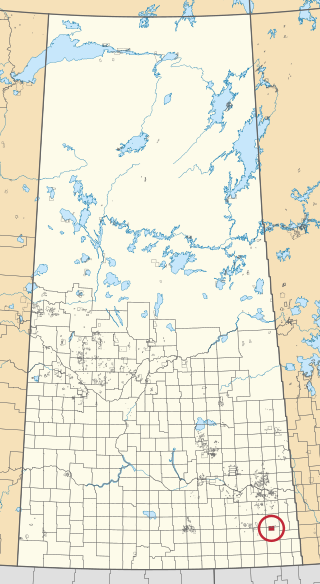
White Bear 70 is an Indian reserve of the White Bear First Nations in Saskatchewan. It is 13 kilometres north of Carlyle and encompasses a total of 12,038.4 hectares. In the 2016 Canadian Census, it recorded a population of 691 living in 237 of its 972 total private dwellings. In the same year, its Community Well-Being index was calculated at 60 of 100, compared to 58.4 for the average First Nations community and 77.5 for the average non-Indigenous community.

