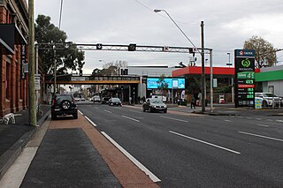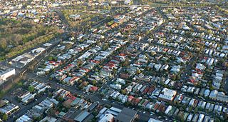
Burwood is an inner eastern suburb of Melbourne, Victoria, Australia, 14 kilometres east of Melbourne's Central Business District, located within the Cities of Monash and Whitehorse local government areas. Burwood recorded a population of 15,147 at the 2021 census.
Ashwood is a suburb in Melbourne, Victoria, Australia, 14 km south east of Melbourne's Central Business District, located within the City of Monash local government area. Ashwood recorded a population of 7,154 at the 2021 census.

Balwyn North, also known as North Balwyn, is a suburb of Melbourne, Victoria, Australia, 10 km east of Melbourne's Central Business District, located within the Cities of Boroondara and Whitehorse local government areas. Balwyn North recorded a population of 21,302 at the 2021 census. It contains the localities of Greythorn and Bellevue.

Hawthorn is an inner suburb of Melbourne, Victoria, Australia, 6 kilometres (3.7 mi) east of Melbourne's central business district, located within the City of Boroondara local government area. Hawthorn recorded a population of 22,322 at the 2021 census.

Abbotsford is an inner-city suburb in Melbourne, Victoria, Australia, 2 km (1.2 mi) north-east of Melbourne's Central Business District, located within the City of Yarra local government area. Abbotsford recorded a population of 9,088 at the 2021 census.

Clifton Hill is an inner-city suburb in Melbourne, Victoria, Australia, 4 km (2.5 mi) north-east of Melbourne's Central Business District, located within the City of Yarra local government area. Clifton Hill recorded a population of 6,606 at the 2021 census.

Glenroy is a suburb in Melbourne, Victoria, Australia, 12 km (7.5 mi) north of Melbourne's Central Business District, located within the City of Merri-bek local government area. Glenroy recorded a population of 23,792 at the 2021 census.

Belconnen is a district in the Australian Capital Territory in Australia. The district is subdivided into 27 divisions (suburbs), sections and blocks. As at the 2021 census, the district had a population of 106,061 people; and was the most populous district within the Australian Capital Territory (ACT).

Gulfview Heights is a small suburb of Adelaide, South Australia and is within the City of Salisbury and City of Tea Tree Gully local government area. It is adjacent to Wynn Vale, Salisbury East and Para Hills.

Baldivis is a semi-rural residential suburb 46 kilometres (29 mi) south of Perth, Western Australia, and 11 kilometres (6.8 mi) southeast of the regional centre of Rockingham. It is located within the City of Rockingham local government area.

Bentley is a southern suburb of Perth, the capital city of Western Australia, 8 kilometres (5.0 mi) southeast of Perth's central business district. Its local government areas are the City of Canning and the Town of Victoria Park. Bentley is home to the main campus of Curtin University and Technology Park.

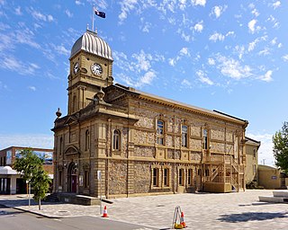
The City of Albany is a local government area in the Great Southern region of Western Australia, about 410 kilometres (255 mi) south-southeast of Perth, the capital of Western Australia. It covers an area of 4,312.3 square kilometres (1,665 sq mi), including the Greater Albany metropolitan area and the Port of Albany, as well as the surrounding agricultural district and some national parks. The City of Albany had a population of over 36,000 at the 2016 census.
Bayonet Head is an outer north-eastern suburb of Albany, Western Australia, on the west bank of Oyster Harbour. Its local government area is the City of Albany. Until the 1980s, it was known as Flinders Park.
Centennial Park is an inner suburb of Albany, Western Australia, immediately north of the CBD within the local government area of the City of Albany. It contains a light industrial area and numerous sporting facilities which serve the entire Albany catchment area.
Collingwood Park is a north-eastern suburb of Albany, Western Australia, just west of the Emu Point holiday resort along King George Sound on the west bank of Oyster Harbour. Its local government area is the City of Albany.
Yakamia is an inner suburb of Albany. The suburb was created in the 1970s, and was gazetted in 1979. The name is believed to be a Noongar word meaning "sister to a small creek".
Spencer Park is a north-eastern suburb of Albany in southern Western Australia north-northeast of Albany's central business district. Its local government area is the City of Albany, and the suburb was gazetted in 1954.
Mira Mar is a northeastern locality of the City of Albany in the Great Southern region of Western Australia.

Riverside is a rural and urban locality in the local government areas of Meander Valley and West Tamar in the Launceston region of Tasmania, Australia. The locality is about 39 kilometres (24 mi) south-east of the town of Beaconsfield. The 2016 census has a population of 6472 for the state suburb of Riverside. It is a residential suburb 5 kilometres (2.5 mi) north-west of the central business district of Launceston, Tasmania's second largest city. The West Tamar Highway runs through the suburb, adjoining Riverside to the West Tamar, which includes small towns such as Beaconsfield, and Beauty Point. Riverside is part of the West Tamar Council local government area. The suburb is now Launceston's largest by population, narrowly ahead of Kings Meadows. The main shopping centre opened in the 1960s and includes: a Woolworths supermarket, a bakery, a pharmacist and some local businesses.
Shorewell Park is a residential locality in the local government area (LGA) of Burnie in the North-west and west LGA region of Tasmania. The locality is about 4 kilometres (2.5 mi) south-west of the town of Burnie. The 2016 census recorded a population of 2008 for the state suburb of Shorewell Park. It is a south western suburb of Burnie, Tasmania, which was established in the 1970s as a broadacre social housing area. The residential housing expanded in the 1980s and in 2012 the Tasmanian Government released a plan for the next 20 years.


