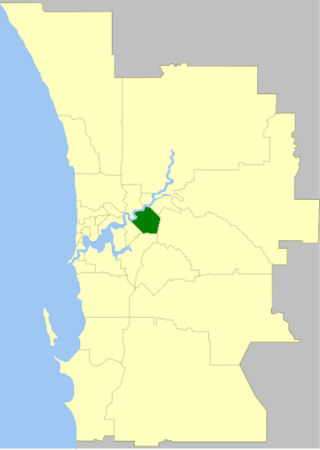
The City of Belmont is a local government area in the inner eastern suburbs of the Western Australian capital city of Perth, located about 8 kilometres (5 mi) east of Perth's central business district on the south bank of the Swan River. The City covers an area of 39.8 square kilometres (15.4 sq mi), maintains 225 km of roads and had a population of almost 40,000 as at the 2016 Census.]

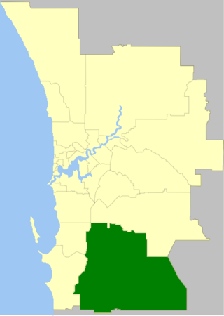
The Shire of Serpentine-Jarrahdale is a local government area in the outer southeastern metropolitan area of Perth, the capital of Western Australia, and has an area of 905 square kilometres (349 sq mi) and a population of 32,173 as at the 2021 Census. Despite being named after two towns in the area, neither Serpentine nor Jarrahdale function as either the Shire's largest settlement (Byford) or the seat of government (Mundijong).

The Shire of Upper Gascoyne is a local government area in the Gascoyne region of Western Australia, inland from Carnarvon and about 1,000 kilometres (620 mi) north of the state capital, Perth. The Shire has an area of 57,939 square kilometres (22,370 sq mi), much of which is uninhabited land or sparsely vegetated sheep station country, and its seat of government is the small town of Gascoyne Junction. It has a population of 170, 56% of whom identify as Aboriginal.

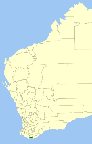
The Shire of Kent is a local government area in the Great Southern region of Western Australia, about 320 kilometres (200 mi) southeast of Perth, the state capital. The Shire covers an area of 5,634 square kilometres (2,175 sq mi) and its seat of government is the town of Nyabing. The area produces grains such as wheat, barley and legumes.

The Shire of Kojonup is a local government area in the Great Southern region of Western Australia, about 250 kilometres (155 mi) southeast of the state capital, Perth, along Albany Highway. The Shire covers an area of 2,932 square kilometres (1,132 sq mi) and its seat of government is the town of Kojonup.

The Shire of Cranbrook is a local government area in the Great Southern region of Western Australia, about 92 kilometres (57 mi) north of Albany and about 320 kilometres (200 mi) south-southeast of the state capital, Perth. The Shire covers an area of 3,277 square kilometres (1,265 sq mi), and its seat of government is the town of Cranbrook.

The Shire of Denmark is a local government area in the Great Southern region of Western Australia, about 55 kilometres (34 mi) west of Albany and about 420 kilometres (261 mi) south-southeast of the state capital, Perth. The Shire of Denmark covers an area of 1,860 square kilometres (718 sq mi), and its seat of government is located in the townsite and locality of Denmark.

The Shire of Exmouth is a local government area in the Gascoyne region of Western Australia, about 1,000 kilometres (600 mi) north of the state capital, Perth. The Shire covers an area of 6,503 square kilometres (2,511 sq mi), and its seat of government is the town of Exmouth.

The Shire of Jerramungup is a local government area in the Great Southern region of Western Australia, about 180 kilometres (112 mi) northeast of Albany and about 440 kilometres (273 mi) southeast of the state capital, Perth. The Shire covers an area of 6,507 square kilometres (2,512 sq mi) with Bremer Bay its largest town. The seat of government is the town of Jerramungup.

The Shire of Katanning is a local government area in the Great Southern region of Western Australia, about 170 kilometres (106 mi) north of Albany and about 290 kilometres (180 mi) southeast of the state capital, Perth. The Shire covers an area of 1,518 square kilometres (586 sq mi), and its seat of government is the town of Katanning.

The Shire of Woodanilling is a local government area in the Great Southern region of Western Australia, about 30 kilometres (19 mi) south of Wagin and about 260 kilometres (162 mi) south-southeast of the state capital, Perth. The Shire covers an area of 1,129 square kilometres (436 sq mi), and its seat of government is the town of Woodanilling.
Boxwood Hill is a town and locality in the Shire of Jerramungup, Great Southern region of Western Australia. Boxwood Hill is situated at the intersection of the South Coast Highway and the Borden-Bremer Bay Road.
Boscabel is a town and locality in the Shire of Kojonup, Great Southern region of Western Australia, located north of Kojonup.
Pingrup is a small town and locality in the Great Southern region of Western Australia. It is one of two localities in the Shire of Kent, the other being Nyabing, covering the west of the shire.

Rocky Gully is a small town and locality in the Shire of Plantagenet, Great Southern region of Western Australia.
Jingalup is a town and locality in the Shire of Kojonup, Great Southern region of Western Australia. Jingalup is located between the towns of Kojonup and Cranbrook, on Murrin Brook, which is a tributary of the Tone River.
Needilup is a town and locality in the Shire of Jerramungup, Great Southern region of Western Australia. Needilup is situated between Ongerup and Jerramungup along the Gnowangerup-Jerramungup Road.
Dingup is a rural locality of the Shire of Manjimup in the South West region of Western Australia. The Muir Highway forms the western and southern border of the locality.
Cartmeticup is a rural locality in the Shire of Woodanilling, Great Southern region of Western Australia. It has a population of 55 as of 2016, with a total of 16 families. The locality name is given to the catchment area of the Woodanilling local government area.
Forest Grove is a locality in the South West region of Western Australia in the Shire of Augusta-Margaret River.


