
Calloose is a hamlet near Leedstown in west Cornwall, England, UK.

Carkeel is a hamlet north of Saltash in southeast Cornwall, England.

Helebridge is a hamlet west of Marhamchurch in northeast Cornwall, England.
Herniss is a hamlet in the civil parish of Mabe in west Cornwall, England. Herniss is on the A394 main road. It is in the civil parish of Stithians

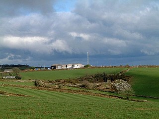
Hersham is a hamlet south of Kilkhampton in Cornwall, England. Hersham is near Grimscott. According to the Post Office the population at 2011 census was included in the civil parish of Launcells
Manor Parsley is a hamlet near Mount Hawke in Cornwall, England, UK. Manor Parsley is approximately 2 miles (3.2 km) south of Redruth.

Maryfield is a hamlet north of Torpoint and east of Antony House in southeast Cornwall, England.
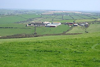
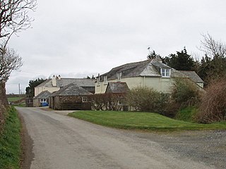
Maxworthy is a hamlet north of North Petherwin in east Cornwall, England.

Mena is a hamlet in the parish of Lanivet in mid Cornwall, England. It should not be confused with Menna in the parish of Ladock.
Mithian Downs is an area south of Mithian in west Cornwall, England.

Nancenoy is a hamlet near Constantine in west Cornwall, England, UK.

North Beer is a hamlet in the parish of Boyton in north Cornwall, England. North Beer is west of Boyton.

Northcott is a hamlet in Cornwall, England. Northcott is north of Bude and on the coast close to Northcott Mouth.

Pencuke is a hamlet near Higher Crackington in northeast Cornwall, England, UK.
Pengold is a hamlet near St Gennys in Cornwall, England, UK. Pengold is southwest of Higher Crackington.

Penhallick is a hamlet near Pool in Cornwall, England, UK. Penhallick House was built in 1892 by Richard Cowlin the local miller and grocer who owned Cowlin Mill. The mill was converted in the 1980s by Kerrier Groundwork and was offices for Cornwall Council. The mill building is currently for sale with potential change of use to residential.

Percuil is a hamlet in Roseland, Cornwall, England. Percuil is on the east bank of the Percuil River and south-west of Gerrans.
Rosecare is a hamlet in the parish of St Gennys, Cornwall, England. Rosecare is east of Higher Crackington.
St Ann's Chapel is a hamlet in the parish of Calstock, Cornwall, England, United Kingdom. It is west of Gunnislake on the A390 between Tavistock and Liskeard.

Trencreek is a hamlet in the parish of Jacobstow, north Cornwall, England, United Kingdom.

