
The Guadalhorce is the principal river of the Province of Málaga in southern Spain.

The Lecrin Valley is a comarca in the center-south part of the province of Granada, Andalusia, southern Spain. This territory borders the Vega de Granada to the north, the Alpujarra Granadina to the east, the Costa Tropical to the south, and the Alhama to the west.

Cástaras is a municipality located in the province of Granada, Spain. According to the 2005 census (INE), the city has a population of 251 inhabitants.
Dúrcal with a population of 7,286 (2012) is a Spanish municipality located in the north-eastern part of the Valle de Lecrín in the Province of Granada, one of the 51 entities that make up the metropolitan area of Granada. It borders the municipalities of Dílar, Lanjarón, Nigüelas, Villamena, and the Padul. Other nearby towns are Padul and Mondújar. The council consists of durqueño nuclei Dúrcal, which is the capital district Lecrín Valley, and Marchena. Much of its township is located in the Sierra Nevada National Park.

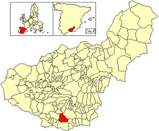
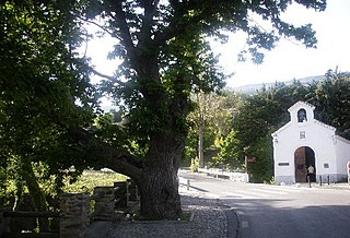
Lecrín is a municipality located in the province of Granada, Spain. According to the 2004 census (INE), the city has a population of 2269 inhabitants. Although the municipality was formed only in 1970, the six areas of which it is comprised have existed for much longer. Lecrín's six constituent areas are Mondújar, Talará, Béznar, Acequias, Chite and Murchas.

Lentegí is a municipality located in the province of Granada, Spain. According to the 2006 census (INE), the city has a population of 342 inhabitants.

Lobras is a municipality located in the province of Granada, Spain. According to the 2005 census (INE), the city has a population of 126 inhabitants.
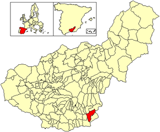
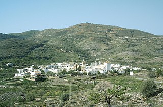
Murtas is a municipality located in the province of Granada, Spain. Spanning an area of 71.7 km2, according to the 2016 census (INE), the city has a population of 495 inhabitants. In 2005 the population was recorded as 741.

Nigüelas is a municipality located in the province of Granada, Spain. According to the 2012 census (INE), the town has a population of 1203.

Soportújar is a municipality located in the province of Granada, Spain. According to the 2015 census (INE), the city has a population of 296 inhabitants.
Vélez de Benaudalla is a municipality in the province of Granada, Spain. According to the 2008 census (INE), the city has a population of 2,980 inhabitants.

Villamena is a municipality located in the province of Granada, Spain. According to the 2005 census (INE), the city has a population of 1010 inhabitants.

Jun is a Spanish locality and township situated in the north-centre part of la Vega de Granada, in the province of Granada, autonomous community of Andalucía. It limits with the municipalities of Pulianas, Granada, Alfacar and Víznar.

Los Guájares is a municipality in the province of Granada, Spain. As of 2010, it has a population of 1191 inhabitants.
El Pinar is a municipality in the province of Granada, Spain. As of 2010, it has a population of 1011 inhabitants.
Pórtugos is a municipality in the province of Granada, Spain. As of 2010, it has a population of 401 inhabitants.

Sorvilán is a municipality in the province of Granada, Spain. As of 2010, it has a population of 614 inhabitants.
Turón is a municipality in the province of Granada, Spain. As of 2010, it has a population of 297 inhabitants.
Saleres is a Spanish village which belongs to the municipality of El Valle, in the province of Granada (Andalusia). It is located in the southern part of Lecrín Valley. Saleres is near Restábal, Melegís, La Loma, Albuñuelas and Pinos del Valle.

Torrenueva Costa is a newly-created (2018) Spanish Municipality in the province of Granada and in the autonomous community Andalucía. It is located in the central part of the region of the Granada coast, and was formerly part of the municipality of Motril, from which it was constitutionally separated on 2 October 2018. Beside this locality are found the centres of El Varadero, La Chucha and Carchuna. It fills the occidental part of the cape Sacratif. The name of Torrenueva is taken from a century XVII defensive watchtower situated in the locality, in the south edge of the highway N-340 between Málaga and Almería, which runs through the locality. As an eminently touristic location, its beaches are populated by numerous swimmers from many sources-mainly from the rest of the granadine province, Jaén and Ciudad Real- during the summer months. In low season, local population is very low.


