
The Town of Gawler is a local government area located north of Adelaide city centre in South Australia containing Gawler and its suburbs. The corporate town was established in 1857 due to the township's residents' dissatisfaction at being governed by three different district councils.

Mawson Lakes is a residential suburb in the City of Salisbury, Adelaide, Australia. Named in honour of Sir Douglas Mawson, it is located in the northern suburbs of Adelaide, approx. 12 kilometres (7.5 mi) north of the Adelaide CBD.
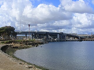
Birkenhead is a north-western suburb of Adelaide 14 km from the CBD, on the Lefevre Peninsula, in South Australia, and lies within the City of Port Adelaide Enfield. It is adjacent to Peterhead, Exeter and Glanville. It is bounded to the south by the Gawler Reach of the Port River, to the north by Hargrave Street and in the west and east by the Outer Harbor railway line and the Port River respectively.
Light is a single-member electoral district for the South Australian House of Assembly. Light is named after Colonel William Light, who was the first Surveyor-General of South Australia. The electorate was created in 1857, abolished at the 1902 election and recreated at the 1938 election. It is based on the semi-rural township of Gawler, and stretches southwards into the outermost northern suburbs of Adelaide.

Brompton is an inner-northern suburb of Adelaide, South Australia in the City of Charles Sturt.
Evanston, formerly Evans Town, is a suburb south of the town of Gawler, South Australia. It contains the Gawler and District College and Gawler Racecourse as well as a supermarket and homemaker centre containing bulky goods stores such as carpet, fishing, electrical and bike and motorbike shops.
Gawler South is a suburb of the South Australian town of Gawler, located in the northern Adelaide metropolitan area region, 43 km north of Adelaide. It is bordered by the South Para River and the suburbs of Gawler, Gawler West, Evanston, Evanston Park and Bibaringa.

Ovingham is an inner northern suburb of Adelaide, South Australia. It is located in the cities of Charles Sturt and Prospect.

Ridleyton is an inner northern suburb of Adelaide, South Australia. It is located in the City of Charles Sturt.

Renown Park is an inner northern suburb of Adelaide, South Australia. It is located in the City of Charles Sturt.

The Adelaide Plains Council is a local government area in South Australia. It consists of a largely rural region along the Gulf St Vincent, covering a total area of approximately 926 km2. The council seat lies at Mallala, but it also maintains a service centre at Two Wells.

Dudley Park, is a suburb of Adelaide, South Australia, located approximately 3 kilometres north-west of the CBD. The suburb is bordered by Regency Road (north), Simpson Avenue (south), the Adelaide-Gawler railway line (east), and a line directly north–south from the Harrison Road-Simpson Avenue intersection to Regency Road (west).
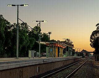
Devon Park is an inner northern suburb of Adelaide, South Australia. It is located in the cities of Port Adelaide Enfield and Charles Sturt beside the Gawler railway line near, but not meeting, the intersection of Torrens Road and Churchill Road.

Gawler and District College is a public early learning centre and primary and secondary school located in the suburb of Evanston on the southern side of Gawler, 45 kilometres (28 mi) north of the city centre of Adelaide, the capital of South Australia. The college offers education from birth to year 12.
Gawler West, is a suburb of the South Australian town of Gawler, located in the northern Adelaide metropolitan area region, 43 km north of Adelaide. It is bordered by the Gawler River and the Gawler railway line and the suburbs of Gawler South, and Evanston. During the 2000s period, part of the suburb was renamed Reid by the South Australian Geographical Names Advisory Committee, replacing the Gawler Bypass Road as the western boundary by the Gawler River on the west and north.
Munno Para is a northern suburb of Adelaide, South Australia. It is located in the City of Playford.
Hillier is a northern suburb of Adelaide, South Australia. It is located in the Town of Gawler.

Evanston Gardens is an outer northern suburb of Adelaide, South Australia. It is located in the Town of Gawler.
Evanston South is a northern suburb of Adelaide, South Australia in the Town of Gawler. It is on the eastern side of Main North Road on the southern side of Gawler.
Gawler East is a town north of Adelaide, South Australia in the Town of Gawler. It is on the rising ground of the Adelaide Hills east of the town of Gawler. Some parts of the suburb date from as early as the settlement of Gawler. Other parts including newer housing estates up to still being developed in the 2010s.
