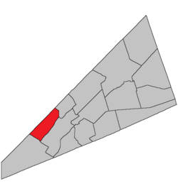
This article is about the geographic parish, former local service district, and rural census subdivision. For the community, see Greenwich Hill, New Brunswick.
on the southeast by the Long Reach of the Saint John River;
on the southwest by a line beginning at the mouth of Devils Back Brook where the southwestern line of the grant to George Young strikes, then northwesterly along the grant line and its prolongation to the county line at a point about 300 metres northeasterly of the northern end of Mud Lake;
including Catons Island, Grassy Island, Isle of Pines, Rocky Island, and Rush Island in Long Reach.
Governance
The entire parish formed the local service district of the parish of Greenwich, established in 1976 to assess for fire protection and first aid and ambulance services. Recreational facilities were added to the assessment in 1995, with first aid and ambulance services removed at the same time.
Communities
Communities at least partly within the parish;[13][14][15]italics indicate a name no longer in official use
↑The Territorial Division Act[2] divides the province into 152 parishes, the cities of Saint John and Fredericton, and one town of Grand Falls. The Interpretation Act[3] clarifies that parishes include any local government within their borders.
1234"No. 148". Provincial Archives of New Brunswick. Department of Natural Resources and Energy Development. Retrieved 14 June 2021. Remainder of parish on maps 149, 156, and 157 at same site.
1234"430"(PDF). Transportation and Infrastructure. Government of New Brunswick. Retrieved 14 June 2021. Remainder of parish on mapbooks 445, 459, and 460 at same site.
This page is based on this Wikipedia article Text is available under the CC BY-SA 4.0 license; additional terms may apply. Images, videos and audio are available under their respective licenses.