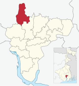
Udaynarayanpur is a community development block that forms an administrative division in Uluberia subdivision of Howrah district in the Indian state of West Bengal.

Shyampur I is a community development block that forms an administrative division in Uluberia subdivision of Howrah district in the Indian state of West Bengal.

Bagnan I is a community development block that forms an administrative division in Uluberia subdivision of Howrah district in the Indian state of West Bengal.

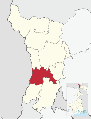
Matigara is a community development block that forms an administrative division in the Siliguri subdivision of the Darjeeling district in the Indian state of West Bengal.

Darjeeling Pulbazar is a community development block that forms an administrative division in the Darjeeling Sadar subdivision of the Darjeeling district in the Indian state of West Bengal.

Naxalbari is a community development block that forms an administrative division in the Siliguri subdivision of the Darjeeling district in the Indian state of West Bengal.

Haringhata is a community development block that forms an administrative division in Kalyani subdivision of Nadia district in the Indian state of West Bengal.

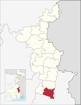
Contai I is a community development block that forms an administrative division in Contai subdivision of Purba Medinipur district in the Indian state of West Bengal.

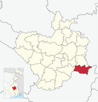
Kalna I is a community development block that forms an administrative division in Kalna subdivision of Purba Bardhaman district in the Indian state of West Bengal.

Kalna II is a community development block that forms an administrative division in Kalna subdivision of Purba Bardhaman district in the Indian state of West Bengal. It has a population of 167,335 as of 2011.

Purbasthali II is a community development block that forms an administrative division in Kalna subdivision of Purba Bardhaman district in the Indian state of West Bengal.

Katwa II is a community development block that forms an administrative division in Katwa subdivision of Purba Bardhaman district in the Indian state of West Bengal.

Panchla is a community development block that forms an administrative division in Howrah Sadar subdivision of Howrah district in the Indian state of West Bengal.

Uluberia I is a community development block that forms an administrative division in Uluberia subdivision of Howrah district in the Indian state of West Bengal.

Amta II is a community development block that forms an administrative division in Uluberia subdivision of Howrah district in the Indian state of West Bengal.

Bagnan II is a community development block that forms an administrative division in Uluberia subdivision of Howrah district in the Indian state of West Bengal.

Shyampur II is a community development block that forms an administrative division in Uluberia subdivision of Howrah district in the Indian state of West Bengal.
Dadpur is a village in Polba Dadpur CD Block in Chinsurah subdivision of Hooghly district in the state of West Bengal, India.
Jamtala is a village within the jurisdiction of the Kultali police station in the Kultali CD block in the Baruipur subdivision of the South 24 Parganas district in the Indian state of West Bengal.
Deuli is a village and a gram panchayat within the jurisdiction of the Jibantala police station in the Canning II CD block in the Canning subdivision of the South 24 Parganas district in the Indian state of West Bengal.


