Like many communities in Carbon County, Kenilworth began as a coal mining camp. Coal was first discovered in the area in 1904, and the town site was laid out in 1908. The name Kenilworth was given by British miners who thought the mountain peaks overlooking the area resembled the spires of Kenilworth Castle.
The population was about 500 in 1910, rose to a high of 1,050 in 1947, and at the 1990 census was down to 350.
As of the census[5] of 2010, there were 180 people living in the CDP. There were 112 housing units. The racial makeup of the town was 92.8% White, 5.0% from some other race, and 2.2% from two or more races. Hispanic or Latino of any race were 20.0% of the population.
Climate
This climatic region is typified by large seasonal temperature differences, with warm to hot (and often humid) summers and cold (sometimes severely cold) winters. According to the Köppen Climate Classification system, Kenilworth has a humid continental climate, abbreviated "Dfb" on climate maps.[6]
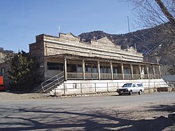
Gallery
Approaching Kenilworth
Part of company housing project, Independent Coal & Coke Company, Kenilworth Mine, Kenilworth, 1946
This page is based on this Wikipedia article Text is available under the CC BY-SA 4.0 license; additional terms may apply. Images, videos and audio are available under their respective licenses.