| Leece | |
|---|---|
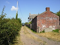 Moss House | |
 Leece Location in South Lakeland  Leece Location within Cumbria | |
| OS grid reference | SD242693 |
| Civil parish | |
| Unitary authority | |
| Ceremonial county | |
| Region | |
| Country | England |
| Sovereign state | United Kingdom |
| Post town | ULVERSTON |
| Postcode district | LA12 |
| Dialling code | 01229 |
| Police | Cumbria |
| Fire | Cumbria |
| Ambulance | North West |
| UK Parliament | |
Leece is a village on the Furness peninsula in Cumbria, England, between the towns of Ulverston and Barrow-in-Furness. [1]

