Related Research Articles

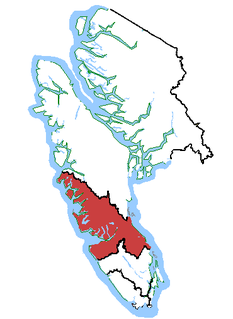
Nanaimo is a city on the east coast of Vancouver Island in British Columbia, Canada. As of the 2021 census, it had a population of 99,863. It is known as "The Harbour City". The city was previously known as the "Hub City". This was attributed both to its original layout design, where the streets radiated from the shoreline like the spokes of a wagon wheel, and to its centralized location on Vancouver Island. Nanaimo is the headquarters of the Regional District of Nanaimo.

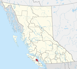
Parksville is a city on Vancouver Island in British Columbia, Canada. As of the 2016 Census, Parksville's population was 12,514, representing a 4.5% increase over the 2011 Census.
Nanaimo—Alberni was a federal electoral district in British Columbia, Canada, that was represented in the House of Commons of Canada from 1979 to 1988. It was subsequently recreated and was represented in the House of Commons from 1997 to 2015.

Listed here are the ethnic groups of Canadian residents as self-identified in the 2016 census in which approximately 35,151,000 census forms were completed). The relevant census question asked for "the ethnic or cultural origins" of the respondent's ancestors and not the respondents themselves.

The Sunshine Coast Regional District is a regional district in British Columbia, Canada. It is located on the southern mainland coast, across Georgia Strait from Vancouver Island. It borders on the qathet Regional District to the north, the Squamish-Lillooet Regional District to the east, and, across Howe Sound, the Metro Vancouver District to the south. The regional district offices are located in the District Municipality of Sechelt.
Slovene Canadians are Canadian citizens of Slovene descent or Slovenian-born people who reside in Canada.

Kitkatla is a small Tsimshian village situated approximately 45 km S.W. of Prince Rupert, British Columbia, Canada, on the north side of Dolphin Island. The village is accessible via Prince Rupert by regular float plane flights or by boat. It is home to the Kitkatla group of Tsimshians.
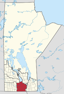
The Central Plains Region is an informal geographic region of the Canadian province of Manitoba located in the south central part of the Canadian province of Manitoba, directly west of Winnipeg.

Alert Bay is a village on Cormorant Island, near the town of Port McNeill on northeast Vancouver Island, in the Regional District of Mount Waddington, British Columbia, Canada. 1,200-1,500 people live within the village.

The Regional District of Mount Waddington (RDMW) is a regional district in British Columbia. It takes in the lower Central Coast region centred on the Queen Charlotte Strait coast of northern Vancouver Island and the adjoining parts of mainland British Columbia. It has a total land area of 20,288.4 km² and a 2016 census population of 11,035 persons, most of which is in towns on Vancouver Island and adjoining islands. The administrative centre is in the town of Port McNeill. Other municipalities include the district municipality of Port Hardy, the village of Port Alice, and the village of Alert Bay.
Protection Island is a small island located 1.5 km north-east of downtown Nanaimo, British Columbia, Canada in the Nanaimo Harbour. The island was originally named Douglas Island, after James Douglas the first Governor of the Colony of Vancouver Island and British Columbia. It was renamed Protection Island in 1960. The permanent year-round population is about 350 people.
Broughton Archipelago is a group of islands located at the eastern end of Queen Charlotte Strait in Mount Waddington Regional District, British Columbia. The archipelago is the traditional territory of the Musgamagw Dzawada'enuxw, Namgis, Ma'amtagila and Tlowitsis nations of the Kwakwaka'wakw peoples.
A designated place (DPL) is a type of community or settlement identified by Statistics Canada that does not meet the criteria used to define municipalities or population centres. DPLs are delineated every 5 years for the Canadian census as the statistical counterparts of incorporated places such as cities, towns, and villages.
The Comox Valley Regional District is a regional district in British Columbia, Canada. It was created on February 15, 2008, encompassing the southeastern portions of the former Regional District of Comox-Strathcona, and centred about the Comox Valley. The partition left the new Comox Valley Regional District with only 8.4 percent of the former Comox-Strathcona's land area, but 57.9 percent of its population. The CVRD covers an area of 2,425 square kilometres, of which 1,725 square kilometres is land, and serves a population of 66,527 according to the 2016 Census. The district borders the Strathcona Regional District to the northwest, the Alberni-Clayoquot Regional District to the southwest, and the Regional District of Nanaimo to the southeast, as well as the Powell River Regional District along the Strait of Georgia to the east.

In 2011, the population of the city of Ottawa was 883,391, an 8.8% increase from 2006. The population of the census metropolitan area was 1,215,735.
The demographics of Winnipeg reveal the city to be a typically Canadian one: multicultural and multilingual. Winnipeg is also prominent in the size and ratio of its First Nations population, which plays an important part in the city's makeup. About 11% of Winnipeggers are of First Nations descent, which vastly exceeds the national average of 4.3%.
Edmonds is a neighbourhood in the southeast of Burnaby, British Columbia, Canada. It is considered one of four town centres by the city of Burnaby. The SkyTrain's Edmonds station serves the area.
The 1871 Canadian census marked the first regularly scheduled collection of national statistics of the Canadian population on April 2, 1871, as required by section 8 of the British North America Act. The constitution required a census to be taken in 1871 and every tenth year thereafter. Parliament implemented the requirements of the constitution through the Census Act of May 12, 1870. In the first census, the population of Canada was enumerated to be 3,485,761.
References
- ↑ "Vancouver Island | History & Facts". Encyclopedia Britannica. Retrieved 2021-04-30.
- ↑ Government of Canada, Statistics Canada (2017-02-08). "Census Profile, 2016 Census - Richmond, City [Census subdivision], British Columbia and British Columbia [Province]". www12.statcan.gc.ca. Retrieved 2021-05-13.
- ↑ Government of Canada, Statistics Canada (2017-02-08). "Census Profile, 2016 Census - 9330200.00 [Census tract], British Columbia and Vancouver [Census metropolitan area], British Columbia". www12.statcan.gc.ca. Retrieved 2021-05-13.
- ↑ Government of Canada, Statistics Canada (2017-02-08). "Census Profile, 2016 Census - 59153602 [Dissemination area], British Columbia and Canada [Country]". www12.statcan.gc.ca. Retrieved 2021-05-13.
- ↑ Dissemination Blocks 11030100001, 11030100002
- ↑ Dissemination Block 11030168042
- ↑ Government of Canada, Statistics Canada (2017-02-08). "Population and Dwelling Count Highlight Tables, 2016 Census". www12.statcan.gc.ca. Retrieved 2021-05-04.
- ↑ Government of Canada, Statistics Canada (2017-02-08). "Census Profile, 2016 Census - Montréal, Territoire équivalent [Census division], Quebec and Quebec [Province]". www12.statcan.gc.ca. Retrieved 2021-04-30.