List of lighthouses in Bangladesh

Last updated

Contents

Map all coordinates using: OpenStreetMap  
Download coordinates as: KML

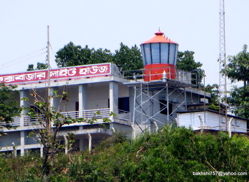
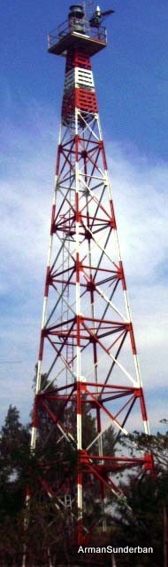
This is a list of lighthouses in Bangladesh . [1] [2]

Lighthouses

NameImageYear
built
Location &
coordinates
Class of Light
[2]
Focal
height
[2]
NGA
number
[2]
Admiralty
number
[2]
Range
nml
[2]
Chittagong Outer Bar Range Rear Lighthouse Image n/a Patenga
22°13′51.8″N91°48′19.5″E / 22.231056°N 91.805417°E / 22.231056; 91.805417
Q R20 metres (66 ft)26780F1050.41n/a
Cox's Bazar Lighthouse Image n/a Cox's Bazar
21°25′53.0″N91°58′41.9″E / 21.431389°N 91.978306°E / 21.431389; 91.978306
Fl W 15s.54 metres (177 ft)26756F1056.421
Hiron Point Lighthousen/aHiron Point
21°47′49.1″N89°28′22.3″E / 21.796972°N 89.472861°E / 21.796972; 89.472861
Fl (2) W 20s.35 metres (115 ft)26840F1045.516
Kutubdia Lighthouse Image ~2004 Kutubdia
21°51′53.9″N91°50′32.6″E / 21.864972°N 91.842389°E / 21.864972; 91.842389
Fl (3) W 10s.39 metres (128 ft)26760F105420
Norman's Point Lighthouse~2006 Anwara
22°10′45.5″N91°49′16.2″E / 22.179306°N 91.821167°E / 22.179306; 91.821167
Fl W 10s.12 metres (39 ft)26764F104817
Patenga Lighthousen/a Patenga
22°13′38.0″N91°48′00.7″E / 22.227222°N 91.800194°E / 22.227222; 91.800194
Fl R 10s.20 metres (66 ft)26792F104913
St. Martin's Island Lighthouse n/a St. Martin's Island
20°37′57.8″N92°19′12.2″E / 20.632722°N 92.320056°E / 20.632722; 92.320056
Fl W 37s.39 metres (128 ft)26752F105720

See also

References

  1. Rowlett, Russ. "Lighthouses of Bangladesh". The Lighthouse Directory. University of North Carolina at Chapel Hill . Retrieved 30 September 2016.
  2. 1 2 3 4 5 6 List of Lights, Pub. 112: Western Pacific and Indian Oceans Including the Persian Gulf and Red Sea (PDF). List of Lights . United States National Geospatial-Intelligence Agency.