External links
- Rowlett, Russ. "The Lighthouse Directory". University of North Carolina at Chapel Hill.
| Types |
|  | ||||
|---|---|---|---|---|---|---|
| Fixtures | ||||||
| Maintenance | ||||||
| Locations | ||||||
| Categories | ||||||
| Global organizations | ||||||
This is a list of lighthouses in Saint Lucia . [1] [2]
| Name | Image | Year built | Location & coordinates | Class of Light [2] | Focal height [2] | NGA number [2] | Admiralty number [2] | Range nml [2] |
|---|---|---|---|---|---|---|---|---|
| Battery Point Lighthouse | n/a | Vieux Fort 13°43′23.8″N60°57′13.5″W / 13.723278°N 60.953750°W | Fl Y 2.5s. | 4 metres (13 ft) | 15045.5 | J5800.6 | 5 | |
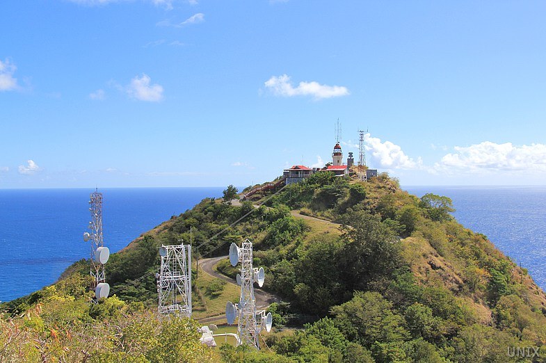
| Cape a Moule a Chique Lighthouse | Image | 1912 | Vieux Fort 13°42′41.2″N60°56′38.5″W / 13.711444°N 60.944028°W | Fl W 5s. | 227 metres (745 ft) | 15048 | J5798 | 22 |
| Castries West Wharf Range Rear Lighthouse | n/a | Castries 14°00′23.6″N60°59′11.6″W / 14.006556°N 60.986556°W | F R | 34 metres (112 ft) | 15020 | J5793 | 5 | |
| Mathurin Point Lighthouse | n/a | Vieux Fort 13°42′46.9″N60°57′27.0″W / 13.713028°N 60.957500°W | VQ (2) W 5s. | 5 metres (16 ft) | 15036 | J5799 | 2 | |
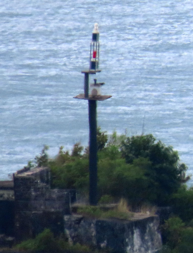
| Tapion Rock | Image | 1843 est. | Castries 14°00′58.1″N61°00′23.1″W / 14.016139°N 61.006417°W | Q G | 15 metres (49 ft) | 15004 | J5792 | 2 |
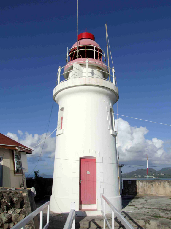
| Vigie Lighthouse | Image | 1914 | Vigie 14°01′20.2″N61°00′04.5″W / 14.022278°N 61.001250°W | Fl (2) W 10s. | 98 metres (322 ft) | 15000 | J5791 | 22 |
| Types |
| | ||||
|---|---|---|---|---|---|---|
| Fixtures | ||||||
| Maintenance | ||||||
| Locations | ||||||
| Categories | ||||||
| Global organizations | ||||||