Abaco Islands
| Name | Image | Year built [1] | Location & coordinates | Class of Light [2] | Focal height [2] | NGA number [2] | Admiralty number [2] | Range nml [2] |
|---|---|---|---|---|---|---|---|---|
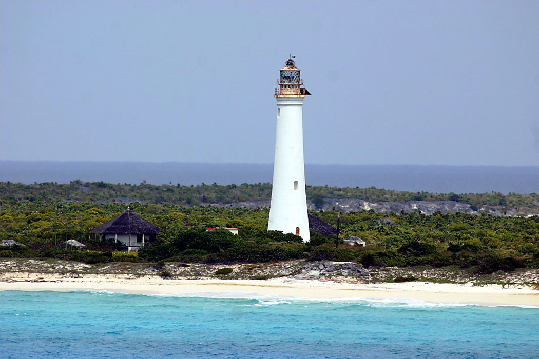
| Elbow Reef Lighthouse |  | 1864 | Hope Town 26°32′23.3″N76°57′43.4″W / 26.539806°N 76.962056°W | Fl (5) W 15s. | 37 metres (121 ft) | 11800 | J4572 | 23 |
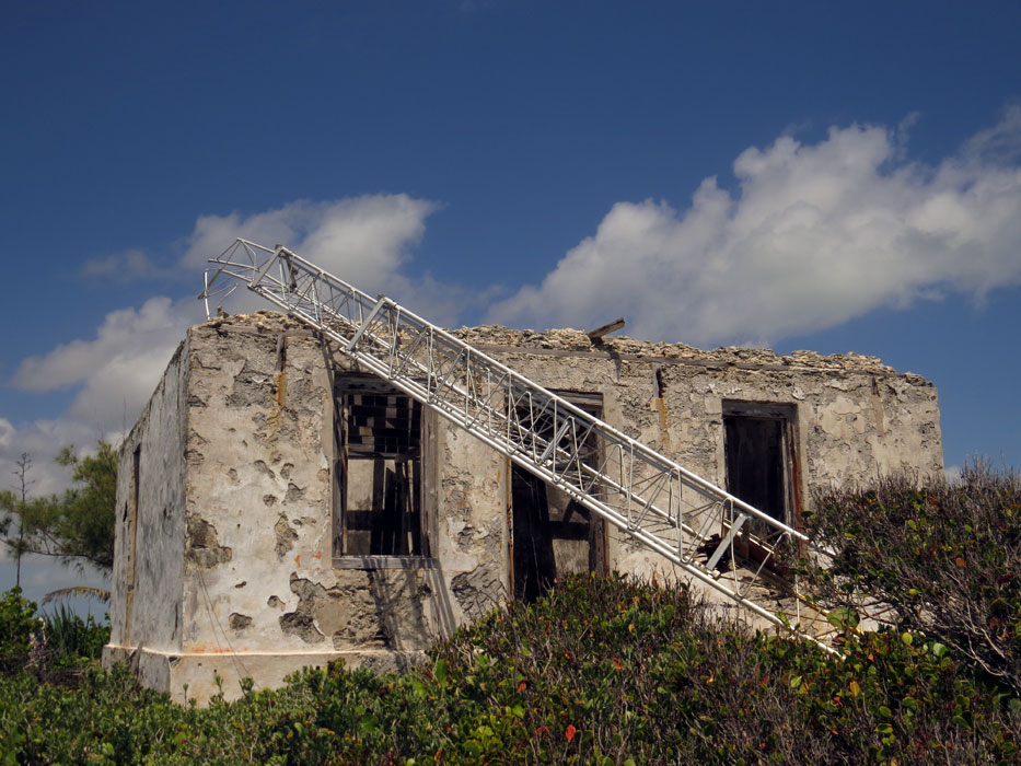
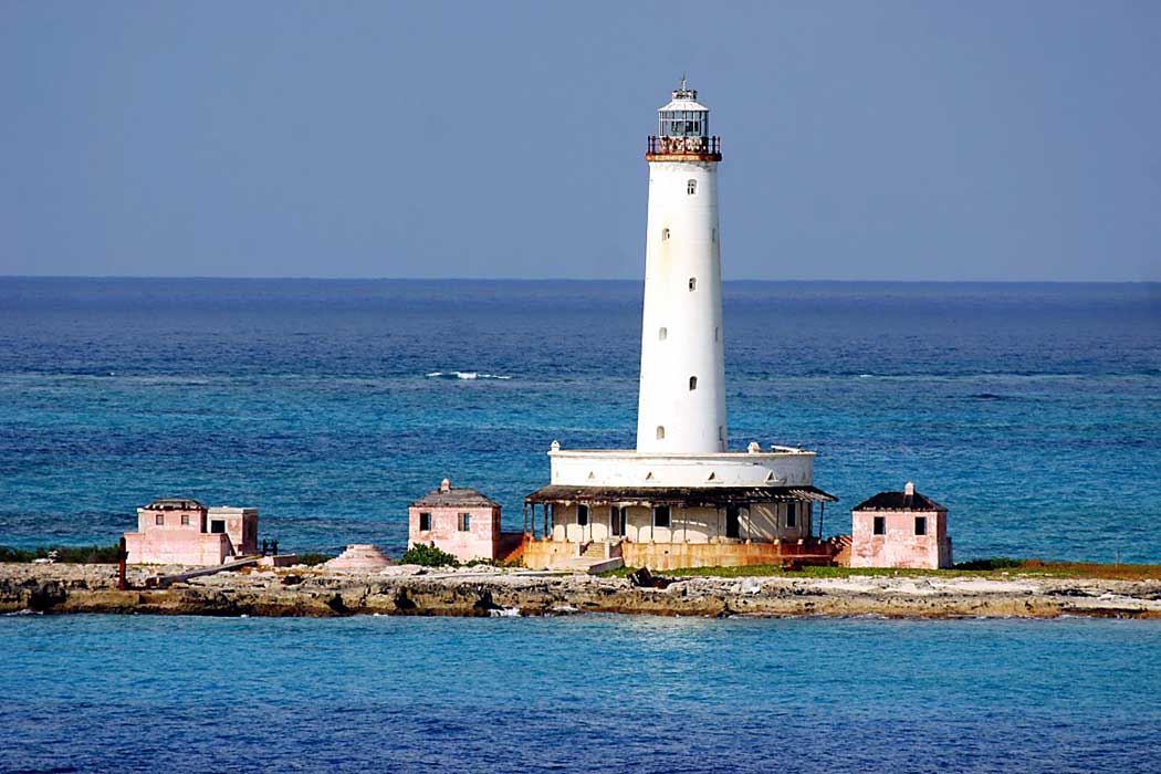
| Hole-in-the-Wall Lighthouse |  | 1836 | Little Harbour 25°51′41.9″N77°11′01.4″W / 25.861639°N 77.183722°W | Fl W 10s. | 51 metres (167 ft) | 11816 | J4580 | 23 |
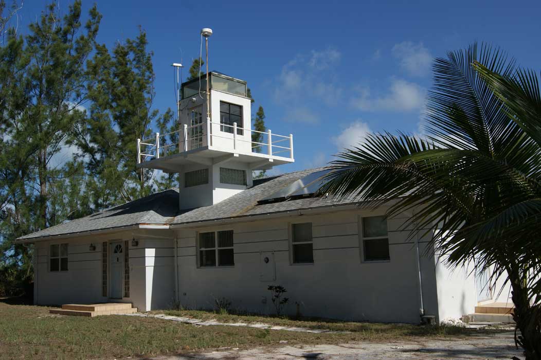
| Little Harbour Lighthouse | Image | 1889 est. | Little Harbour 26°19′49.2″N76°59′43.5″W / 26.330333°N 76.995417°W | Fl W 4s. | 19 metres (62 ft) | 11808 | J4576 | 10 |


