Lighthouses
| Name | Image | Year built | Location & coordinates | Class of Light [2] | Focal height [2] | NGA number [2] | Admiralty number [2] | Range nml [2] |
|---|---|---|---|---|---|---|---|---|
| Ceru Bentana Lighthouse |  | n/a | Rincon 12°18′18.1″N68°22′34.1″W / 12.305028°N 68.376139°W | Fl (4) W 22s. | 44 metres (144 ft) | 16056 | J6416 | 15 |
| Boca Spelonk Lighthouse |  | 1910 | Kralendijk 12°12′44.2″N68°11′47.5″W / 12.212278°N 68.196528°W | Fl W 5s. | 30 metres (98 ft) | 16064 | J6414 | 15 |
| Lacre Punt Lighthouse |  | n/a | Kralendijk 12°01′42.0″N68°14′14.2″W / 12.028333°N 68.237278°W | Fl W 9. | 23 metres (75 ft) | 16100 | J6411 | 14 |
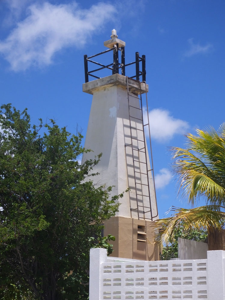
| Punt Vierkant Lighthouse | Image | n/a | Kralendijk 12°06′50.3″N68°17′40.7″W / 12.113972°N 68.294639°W | Fl (3) W 22s. | 9 metres (30 ft) | 16096 | J6409 | 5 |
| Kralendijk Lighthouse |  | 1932 | Kralendijk 12°08′56.0″N68°16′36.2″W / 12.148889°N 68.276722°W | Fl W 2s. | 13 metres (43 ft) | 16093 | J6408.3 | 5 |
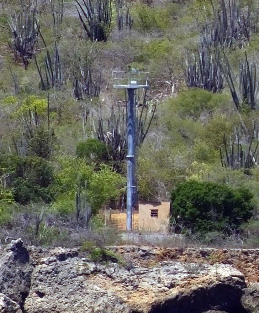
| Punt Wekoewa Lighthouse | Image | n/a | Rincon 12°13′37.7″N68°24′39.0″W / 12.227139°N 68.410833°W | Fl (3) W 20s. | 15 metres (49 ft) | 16060 | J6403 | 12 |
