Lone Star, Texas | |
|---|---|
 Lone Star  Lone Star | |
| Coordinates: 31°57′13″N95°02′17″W / 31.95361°N 95.03806°W | |
| Country | United States |
| State | Texas |
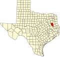
| County | Cherokee |
| Elevation | 509 ft (155 m) |
| Time zone | UTC-6 (Central (CST)) |
| • Summer (DST) | UTC-5 (CDT) |
| Area codes | 430 & 903 |
| GNIS feature ID | 1378602 [1] |
Lone Star is a ghost town in Cherokee County, Texas, United States. [1]