 | ||||
|---|---|---|---|---|
| Magistralni put M-11 | ||||
 | ||||
| Route information | ||||
| Length | 10.1 km (6.3 mi) | |||
| Existed | 1971–present | |||
| Major junctions | ||||
| North end | ||||
| South end | ||||
| Location | ||||
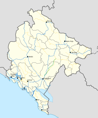
| Country | Montenegro | |||
| Municipalities | Tivat | |||
| Highway system | ||||
| ||||
M-11 highway (Montenegrin : Magistralni put M-11) (previously known as M-2.1) is a Montenegrin roadway.
Contents
The M-11 highway serves as an extension of the M-1 highway, serving Tivat and Tivat Airport. When used with Ferryboat to Kamenari it also serves as a shortcut for M-1 highway bypassing much of bay of Kotor.
It is the shortest highway in Montenegro.