Mallory Township | |
|---|---|
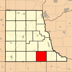 Location in Clayton County | |
| Coordinates: 42°41′31″N091°11′26″W / 42.69194°N 91.19056°W | |
| Country | |
| State | |
| County | Clayton |
| Area | |
• Total | 35.98 sq mi (93.19 km2) |
| • Land | 35.98 sq mi (93.18 km2) |
| • Water | 0.0039 sq mi (0.01 km2) 0.01% |
| Elevation | 1,180 ft (360 m) |
| Population (2010) | |
• Total | 391 |
| • Density | 11/sq mi (4.2/km2) |
| GNIS feature ID | 0468336 |
Mallory Township is a township in Clayton County, Iowa, United States. At the 2010 census, its population was 395, down from 411 ten years earlier.
