
Littleport is an unincorporated community and former city in Clayton County, Iowa, United States. After the Volga River flood of May 16, 1999, much of the town was destroyed and most residents moved away. At the 2000 Census, there were 26 residents. As of the 1960 Census, there had been 119 residents. There had been 139 people in 1950 and more than 200 people in 1916. The town was laid out in 1857 by Dennis Quigley and platted on May 21, 1860, but remained of little importance until the coming of the railroad in 1874. The town was not officially incorporated until 1907. Around this time, it had three general stores, a bank, blacksmith shop, Catholic church, German Lutheran church, an independent school district and a creamery. Somewhat later, it also had two taverns. It was officially disincorporated in 2005.
Washburn is an unincorporated town and census-designated place (CDP) in Black Hawk County, Iowa, United States. Washburn lies south of Waterloo on U.S. Route 218. Other towns near Washburn are Gilbertville and La Porte City. The community is part of the Waterloo–Cedar Falls Metropolitan Statistical Area.
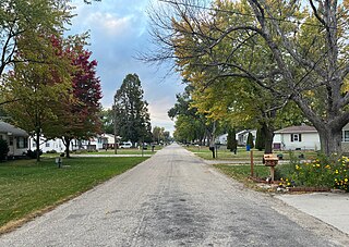
Luton is an unincorporated community located in Woodbury County, Iowa, United States. It is part of the Sioux City metropolitan area and is served by the Sergeant Bluff-Luton Community School District.

The Central Community School District is rural public school district headquartered in Elkader, Iowa.
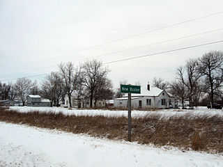
New Boston is an unincorporated community in central Lee County, Iowa, United States. It lies in the southeast corner of Iowa, along U.S. Highway 218 and southwest of the city of Fort Madison, the county seat of Lee County. New Boston is located nearby to the unincorporated communities of Argyle, Iowa and Charleston, Iowa. The community is part of the Fort Madison–Keokuk, IA-MO Micropolitan Statistical Area. There are no commercial establishments in New Boston, although this is the home of Liberty Baptist Church.
Giard is an unincorporated community in Clayton County, Iowa, United States. Its elevation is 1,122 feet (342 m), and it is located at 43°0′20″N91°17′21″W. A post office was established in the community on September 28, 1854; after being disestablished, it was restored on August 7, 1914, and operated until January 15, 1925, except for a short hiatus at the end of 1918.
Froelich is an unincorporated community in Clayton County, Iowa, United States.
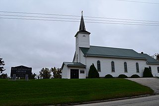
Clayton Center is an unincorporated community located in Clayton County, Iowa, United States.
Osborne is an unincorporated community in Clayton County, Iowa, United States.
Corley is an unincorporated community and census-designated place in Shelby County, Iowa, in the United States. As of the 2010 Census the population of Corley was 26.
Jacksonville is an unincorporated community and census-designated place in Jackson Township, Shelby County, Iowa, in the United States. As of the 2010 Census the population of Jacksonville was 30.
Germantown is an unincorporated community in O'Brien County, Iowa, United States.
Miller is an unincorporated community and census-designated place in Hancock County, Iowa, United States. As of the 2010 census, the population was 60.
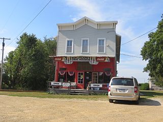
Gunder is an unincorporated rural village in Clayton County, Iowa, United States. There is a restaurant there specializing in beef sandwiches, and several homes. The Turkey River flows south of Gunder, and Roberts Creek, a tributary, to the north. The county seat of Elkader lies approximately 10 miles to the southeast.
Watson is an unincorporated community in Clayton County, Iowa, United States. The county seat of Elkader lies approximately 15 miles to the southwest.
Wood is an unincorporated community in Clayton County, Iowa, United States. The county seat of Elkader lies 14 miles (23 km) to the north.
Turkey River is an unincorporated community in Clayton County, Iowa, United States. The community of Turkey River borders the Mississippi River, and the Turkey River. Turkey River also is situated on Iowa's border with Wisconsin.
Cornelia is an unincorporated community in Grant Township, Wright County, Iowa, United States. Cornelia is located along County Highway C25, 4.8 miles (7.7 km) north-northeast of Clarion. Lake Cornelia State Park is in the community.
Holmes is an unincorporated community in Lake Township, Wright County, Iowa, United States. Holmes is located along County Highway R33, 5 miles (8.0 km) west of Clarion.
Ticonic is an unincorporated community in Grant Township, Monona County, Iowa, United States. Ticonic is located along County Highway E16, 8.2 miles (13.2 km) west of Mapleton.


