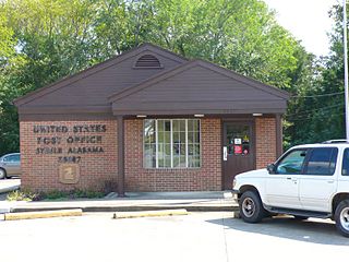
Steele is a town in northeastern St. Clair County, Alabama, United States. It was incorporated in 1952. At the 2010 census the population was 1,043, down from 1,093. The town is a part of the Birmingham–Hoover–Cullman Combined Statistical Area. It was initially known as Steel's Station or Steele's Depot in the late 19th century.

Kennard is a town in Greensboro Township, Henry County, Indiana, United States. The population was 471 at the 2010 census.

Markle is a town in Huntington and Wells counties, in the U.S. state of Indiana. The population was 1,071 at the 2020 census. It lies along Interstate 69, U.S. Route 224, State Road 116 and State Road 3.

Smyrna is a town in Aroostook County, Maine, United States. The population was 439 at the 2020 census.
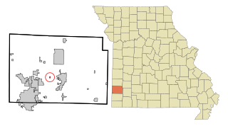
Brooklyn Heights is a village in Jasper County, Missouri, United States. The population was 101 at the 2020 census. It is part of the Joplin, Missouri Metropolitan Statistical Area.

Ellenboro is a town in Ritchie County, West Virginia, United States. The population was 222 at the 2020 census. The town is located at the junction of U.S. Route 50 and West Virginia Route 16; the North Bend Rail Trail also passes through the town. The town was named for Ellen Mariah Williamson, the eldest daughter of the family that granted a right of way for the Baltimore and Ohio Railroad to build their line through the town; an earlier name for the community was Shumley. Ellenboro was incorporated in 1903.

Pennsboro is a city in Ritchie County, West Virginia, United States. The population was 1,050 at the 2020 census. The city is located at the junction of U.S. Route 50 and West Virginia Route 74; the North Bend Rail Trail also passes through the city.

Chippewa is a town in Ashland County in the U.S. state of Wisconsin. The population was 374 at the 2010 census.

Holland is a town in Brown County in the U.S. state of Wisconsin. The population was 1,519 at the 2010 census. The unincorporated communities of Askeaton and Hollandtown are located in the town.
Dunn is a town in Dane County, Wisconsin, United States. The population was 4,880 at the 2020 census.

Otter Creek is a town in Dunn County, Wisconsin, United States. The population was 474 at the 2000 census.

Nokomis is a town in Oneida County, Wisconsin, United States. The population was 1,371 at the 2010 census.
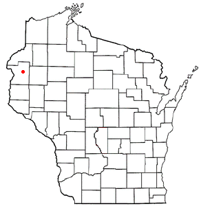
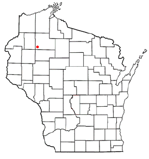
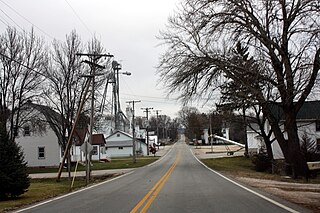
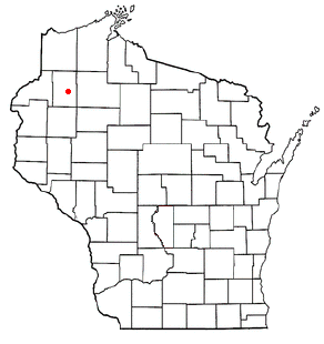
Georgetown is a town in Polk County, Wisconsin, United States. The population was 977 at the 2010 census. The unincorporated communities of Bunyan and Fox Creek are located in the town.

Grant is a town in Portage County, Wisconsin, United States. The population was 2,020 at the 2000 census. The unincorporated community of Kellner is located partially in the town.

Big Bend is a town in Rusk County, Wisconsin, United States. The population was 402 at the 2000 census. The unincorporated community of Island Lake is located in the town.
Edgewater is a town in Sawyer County, Wisconsin, United States. The population was 586 at the 2000 census. The unincorporated communities of Edgewater and Wooddale are located in the town. The unincorporated community of Yarnell is also located partially in the town.
Greenbush is a town in Sheboygan County, Wisconsin, United States. The population was 2,773 at the 2000 census. It is included in the Sheboygan, Wisconsin Metropolitan Statistical Area. The census-designated place of Greenbush is located in the town. The unincorporated community of German Corners is also located in the town.
Crystal is a town in Washburn County, Wisconsin, United States. The population was 323 at the 2000 census.
Lowell is a town in Dodge County, Wisconsin, United States. The population was 1,169 at the 2000 census. The Village of Lowell and the unincorporated community of North Lowell are located in the town.

Boscobel is a town in Grant County, Wisconsin, United States. The population was 433 at the 2000 census. The town borders the city of Boscobel.