McQuesten Airport | |||||||||||
|---|---|---|---|---|---|---|---|---|---|---|---|
| Summary | |||||||||||
| Airport type | Public | ||||||||||
| Operator | Government of Yukon | ||||||||||
| Location | McQuesten, Yukon | ||||||||||
| Time zone | MST (UTC−07:00) | ||||||||||
| Elevation AMSL | 1,500 ft / 457 m | ||||||||||
| Coordinates | 63°36′18″N137°33′49″W / 63.60500°N 137.56361°W | ||||||||||
| Map | |||||||||||
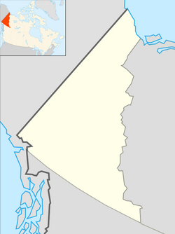 CFP4 Location in Yukon  CFP4 CFP4 (Canada) | |||||||||||
| Runways | |||||||||||
| |||||||||||
| Source: Canada Flight Supplement [1] | |||||||||||
McQuesten Airport( TC LID : CFP4) is located on the banks of the Stewart River near McQuesten, Yukon, Canada and receives no maintenance.