Millersburg | |
|---|---|
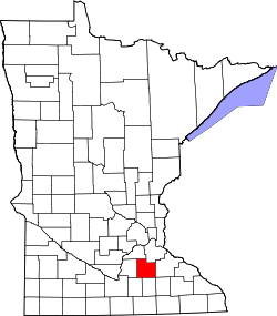
 Millersburg Location of the community of Millersburg within Forest Township, Rice County  Millersburg Millersburg (the United States) | |
| Coordinates: 44°25′40″N93°19′55″W / 44.42778°N 93.33194°W | |
| Country | United States |
| State | Minnesota |
| County | Rice County |
| Township | Forest Township |
| Elevation | 1,076 ft (328 m) |
| Time zone | UTC-6 (Central (CST)) |
| • Summer (DST) | UTC-5 (CDT) |
| ZIP code | 55046 |
| Area code | 507 |
| GNIS feature ID | 654828 [1] |
Millersburg is an unincorporated community in Forest Township, Rice County, Minnesota, United States.
The community is located along Rice County Road 1 (Millersburg Boulevard) near its junction with Chester Avenue. Nearby places include Lonsdale, Faribault, Northfield, and Dundas.
Millersburg was laid out in 1857 by George W. Miller, and named for him. [2]