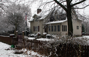
White County is a county in the U.S. state of Indiana. As of the 2020 United States Census, the population was 24,688. The county seat is Monticello.
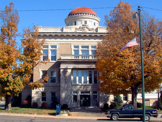
Warren County is a county in the U.S. state of Indiana. It lies in the western part of the state between the Illinois state line and the Wabash River. According to the 2020 census, it had a population of 8,440. Its county seat is Williamsport.

Tippecanoe County is a county located in the west-central portion of the U.S. state of Indiana about 22 miles east of the Illinois state line and less than 50 miles from the Chicago and the Indianapolis metro areas. As of the 2020 census, the population was 186,251. The county seat and largest city is Lafayette. It was created in 1826 from Wabash County portion of New Purchase and unorganized territory.
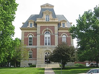
Benton County is located in the northwest part of the U.S. state of Indiana, along the border with Illinois. As of 2020, the county's population was 8,719. It contains six incorporated towns as well as several small unincorporated settlements; it is divided into 11 townships which provide local services. The county seat is Fowler.
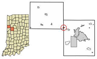
Otterbein is a town in Shelby Township, Tippecanoe County and Bolivar Township, Benton County, Indiana, named for William Otterbein Brown who donated land for the town. As of the 2020 census, its population was 1,144.

Wabash Township is one of thirteen townships in Tippecanoe County, Indiana, United States. As of the 2010 census, its population was 59,279 and it contained 21,448 housing units making it the most populous township in Tippecanoe County.
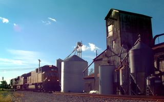
Buck Creek is an unincorporated census-designated place in Washington Township, Tippecanoe County, in the U.S. state of Indiana.

West Point is an unincorporated town and census-designated place in Wayne Township, Tippecanoe County, in the U.S. state of Indiana. The population was 594 at the 2010 census.

Talbot is an unincorporated community in Hickory Grove Township, Benton County, in the U.S. state of Indiana. It is part of the Lafayette, Indiana Metropolitan Statistical Area.

Swanington is an unincorporated community in Center Township, Benton County, in the U.S. state of Indiana. It is part of the Lafayette, Indiana Metropolitan Statistical Area.

Dunnington is a small unincorporated community in Parish Grove Township, Benton County, in the U.S. state of Indiana.

Freeland Park is an unincorporated town in Parish Grove Township, Benton County, in the U.S. state of Indiana. It is part of the Lafayette, Indiana Metropolitan Statistical Area.

Atkinson is an unincorporated community in Center Township, Benton County, in the U.S. state of Indiana. The site of Atkinson is home to the county's only junior/senior high school, Benton Central.

Bolivar Township is one of eleven townships in Benton County, Indiana. As of the 2020 census, its population was 1,179 and it contained 514 housing units. Bolivar Township was organized in March 1860 and named for South American liberator Simón Bolivar.
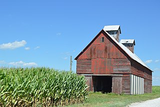
Pine Township is one of eleven townships in Benton County, Indiana. As of the 2020 census, its population was 324 and it contained 108 housing units. Pine Township was one of the original three created by county commissioners in July 1840, and is named for Big Pine Creek which flows south through the township.

Round Grove Township is one of twelve townships in White County, Indiana, United States. As of the 2020 census, its population was 252 and it contained 100 housing units.

Jackson Township is one of thirteen townships in Tippecanoe County, Indiana, United States. As of the 2010 census, its population was 499 and it contained 185 housing units.

Shelby Township is one of thirteen townships in Tippecanoe County, Indiana, United States. As of the 2010 census, its population was 2,352 and it contained 920 housing units.

Wayne Township is one of thirteen townships in Tippecanoe County, Indiana, United States. As of the 2010 census, its population was 1,580 and it contained 623 housing units.

LaGrange was a small town, now extinct, in Shelby Township, Tippecanoe County, in the U.S. state of Indiana.


