San Patricio County is located in the U.S. state of Texas. As of the 2020 census, its population was 68,755. Its county seat is Sinton. San Patricio County is part of the Corpus Christi metropolitan statistical area.

Nueces County is located in the U.S. state of Texas. As of the 2020 census, the population was 353,178, making it the 16th-most populous county in the state. The county seat is Corpus Christi. The county was formed in 1846 from portions of San Patricio County and organized the following year. It is named for the Nueces River, which marks the county's northwestern boundary with San Patricio County before emptying into its mouth at Nueces Bay north of the port of Corpus Christi. Nueces County is part of the Corpus Christi metropolitan statistical area.

Bronson is a town and the county seat of Levy County, Florida, United States. The population was 1,140 at the 2020 census, up from 1,113 at the 2010 census. It is part of the Gainesville, Florida Metropolitan Statistical Area.

Donahue is a city in Scott County, Iowa, United States. The population was 335 at the 2020 census. The city has a mayor-council form of government.

Fowler is a city in Meade County, Kansas, United States. As of the 2020 census, the population of the city was 534.

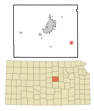
Brookville is a city in Saline County, Kansas, United States. As of the 2020 census, the population of the city was 247.
Gypsum is a city in Saline County, Kansas, United States. As of the 2020 census, the population of the city was 400.

Haddam is a city in Washington County, Kansas, United States. It is named after Haddam, Connecticut. As of the 2020 census, the population of the city was 110.

Baxter is a city in Putnam County, Tennessee, United States. The population was 1,578 at the 2020 census. It is part of the Cookeville, Tennessee Micropolitan Statistical Area.
Bayview is a town in Cameron County, Texas, United States. The population was 475 at the 2020 census. It is part of the Brownsville–Harlingen–Raymondville and the Matamoros–Brownsville metropolitan areas.
Agua Dulce is a city in Nueces County, in the U.S. state of Texas. It is located on the Texas Mexican Railway at the intersection of State Highway 44 and Farm to Market Road 70 in west-central Nueces County. The name, Spanish for "sweet water", refers to a nearby creek. A town in Texas, Sweetwater in Nolan County in West Texas, uses the English name.
Bishop is a city in Nueces County, Texas, United States. The population was 3,174 as of the 2020 census, up from 3,134 in the 2010 census.

Driscoll is a city in Nueces County, Texas, United States. Its population was 680 at the 2020 census, down from 739 at the 2000 census.

Robstown is a city in Nueces County, Texas, United States, and a western suburb of Corpus Christi. It was founded circa 1906, and was named for Robert Driscoll. The population was 10,143 as of the 2020 census.

Camp Wood is a city in Real County, Texas, United States, in the Texas Hill Country, which is part of the Edwards Plateau. The population was 517 at the 2020 census.

Odem is a city in San Patricio County, Texas, United States. Its population was 2,255 at the 2020 census.
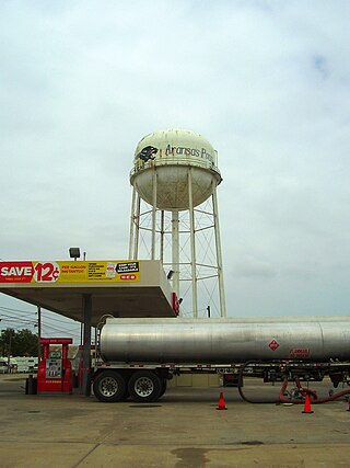
Aransas Pass is a city in Aransas, Nueces, and San Patricio counties in Texas, United States. The population was 8,011 at the 2021 Census.

Ingleside is a city primarily in San Patricio County, with small parts in Nueces County, in the U.S. state of Texas. Its population was 9,519 at the 2020 census.

Portland is a city primarily located in San Patricio County with some water bodies extending into Nueces County in the U.S. state of Texas. Its population was 20,383 as of the 2020 United States census. Current population calculated by the City of Portland is 22,783. Portland is a suburb of Corpus Christi, located on the north shore of Nueces and Corpus Christi Bays.

San Patricio is a city in San Patricio County in the U.S. state of Texas. The population was 384 at the 2020 census.


