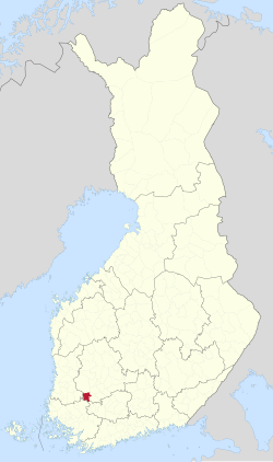
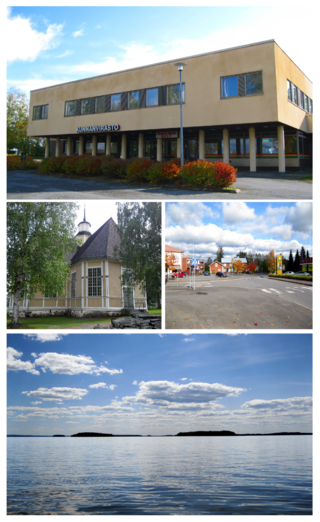
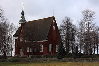
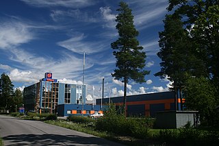
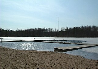
Huittinen is a town and municipality in Finland. It is located in the Satakunta region, 63 kilometres (39 mi) southeast of Pori and 75 kilometres (47 mi) southwest of Tampere. The town has a population of 9,553 and covers an area of 539.59 square kilometres (208.34 sq mi) of which 6.97 km2 (2.69 sq mi) is water. The population density is 17.93 inhabitants per square kilometre (46.4/sq mi).

Evijärvi is a municipality of Finland. It is located in the Southern Ostrobothnia region. The municipality has a population of 2,270 and covers an area of 390.71 square kilometres (150.85 sq mi) of which 36.7 km2 (14.2 sq mi) is water. The population density is 6.41 inhabitants per square kilometre (16.6/sq mi).

Föglö is a group of islands and municipality in Åland, an autonomous territory of Finland.

Humppila is a municipality of Finland. It is located in the Tavastia Proper region. The municipality has a population of 2,096, which make it the smallest municipality in Tavastia Proper in terms of population. It covers an area of 148.61 square kilometres (57.38 sq mi) of which 0.65 km2 (0.25 sq mi) is water. The population density is 14.17 inhabitants per square kilometre (36.7/sq mi).

Jämijärvi is a municipality of Finland.

Kihniö is a municipality of Finland.

Kinnula is a municipality of Finland.

Lapinlahti is a municipality of Finland. It is part of the Northern Savonia region, located 59 kilometres (37 mi) north of the city of Kuopio. The municipality has a population of 8,864 and covers an area of 1,245.16 square kilometres (480.76 sq mi) of which 148.58 km2 (57.37 sq mi) is water. The population density is 8.08 inhabitants per square kilometre (20.9/sq mi). The municipality is unilingually Finnish.
Lappajärvi is a municipality in Finland in Southern Ostrobothnia region. It is 78 kilometres (48 mi) from Lappajärvi to Seinäjoki, 80 kilometres (50 mi) to Kokkola and 117 kilometres (73 mi) to Vaasa. The municipality has a population of 2,758 and covers an area of 522.98 square kilometres (201.92 sq mi) of which 102.89 km2 (39.73 sq mi) is water. The population density is 6.55 inhabitants per square kilometre (17.0/sq mi).

Lieto is a city and municipality of Finland.

Mynämäki is a municipality of Finland located in the Southwest Finland region. Neighbouring municipalities are Aura, Eura, Laitila, Masku, Nousiainen, Pöytyä, Rusko, Taivassalo, Turku and Vehmaa.

Polvijärvi is a municipality of Finland. It is located in the North Karelia region. The municipality has a population of 3,999 and covers an area of 958.32 square kilometres (370.01 sq mi) of which 154.22 km2 (59.54 sq mi) is water. The population density is 4.97 inhabitants per square kilometre (12.9/sq mi). Neighbouring municipalities are Juuka, Kaavi, Kontiolahti, Liperi, Outokumpu.

Pyhäntä is a municipality of Finland. It is located in the Northern Ostrobothnia region. The municipality has a population of 1,641 (31 December 2024) and covers an area of 847.48 square kilometres (327.21 sq mi) of which 36.72 km2 (14.18 sq mi) is water. The population density is 2.03 inhabitants per square kilometre (5.3/sq mi). The municipality is unilingually Finnish.

Pyhäranta is a municipality of Finland. It is located in the province of Western Finland and is part of the Southwest Finland region. The municipality has a population of 1,920 and covers an area of 291.75 square kilometres (112.65 sq mi) of which 148.5 km2 (57.3 sq mi) is water. The population density is 13.38 inhabitants per square kilometre (34.7/sq mi).
Pöytyä is a municipality of Finland located in the Southwest Finland region.
Rusko is a municipality of Finland.
Siikainen is a municipality of Finland.
Urjala is a municipality of Finland. It is part of the Pirkanmaa region, near the town of Forssa. The municipality has a population of 4,492 and covers an area of 505.37 square kilometres (195.12 sq mi) of which 30.16 km2 (11.64 sq mi) is water. The population density is 9.45 inhabitants per square kilometre (24.5/sq mi).
Vesanto is a municipality of Finland. It is located in the Northern Savonia region. The municipality has a population of 1,852 and covers an area of 569.80 square kilometres (220.00 sq mi) of which 147.1 km2 (56.8 sq mi), or 26%, is water. The population density is 4.38 inhabitants per square kilometre (11.3/sq mi).

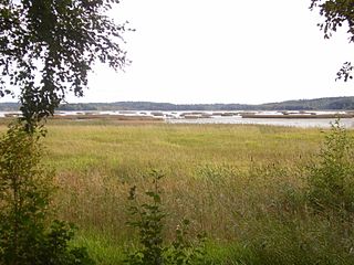
Kimitoön is a municipality and island of Finland. It was created on 1 January 2009, when the municipalities of Dragsfjärd, Kimito and Västanfjärd were consolidated into a single municipality.