Saulmory-Villefranche | |
|---|---|
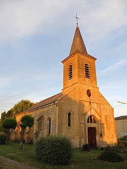 The church in Saulmory-Villefranche | |
 Coat of arms | |
 Location of Saulmory-Villefranche | |
 Saulmory-Villefranche  Saulmory-Villefranche | |
| Coordinates: 49°26′05″N5°10′38″E / 49.4347°N 5.1772°E | |
| Country | France |
| Region | Grand Est |
| Department | Meuse |
| Arrondissement | Verdun |
| Canton | Stenay |
| Intercommunality | Pays de Stenay et Val Dunois |
| Government | |
| • Mayor (2020–2026) | Claude Ansmant [1] |
Area 1 | 6.85 km2 (2.64 sq mi) |
| Population (2023) [2] | 82 |
| • Density | 12/km2 (31/sq mi) |
| Time zone | UTC+01:00 (CET) |
| • Summer (DST) | UTC+02:00 (CEST) |
| INSEE/Postal code | 55471 /55110 |
| Elevation | 167–200 m (548–656 ft) (avg. 175 m or 574 ft) |
| 1 French Land Register data, which excludes lakes, ponds, glaciers > 1 km2 (0.386 sq mi or 247 acres) and river estuaries. | |
Saulmory-Villefranche (before 2017: Saulmory-et-Villefranche) [3] is a commune in the Meuse department in Grand Est in north-eastern France.